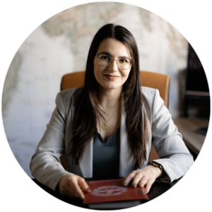
``THE PLEASURE OF SERVICE BRINGS PERFECTION TO WORK.``

– Aristotel

ABOUT US

Global Cad – Geodesy, Cadastre, and Topography Services

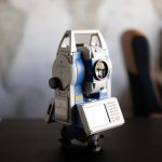
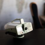
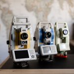
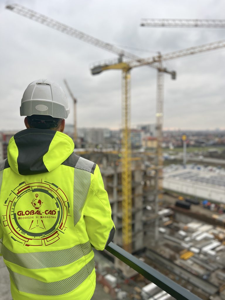
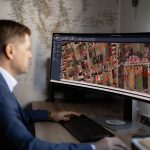
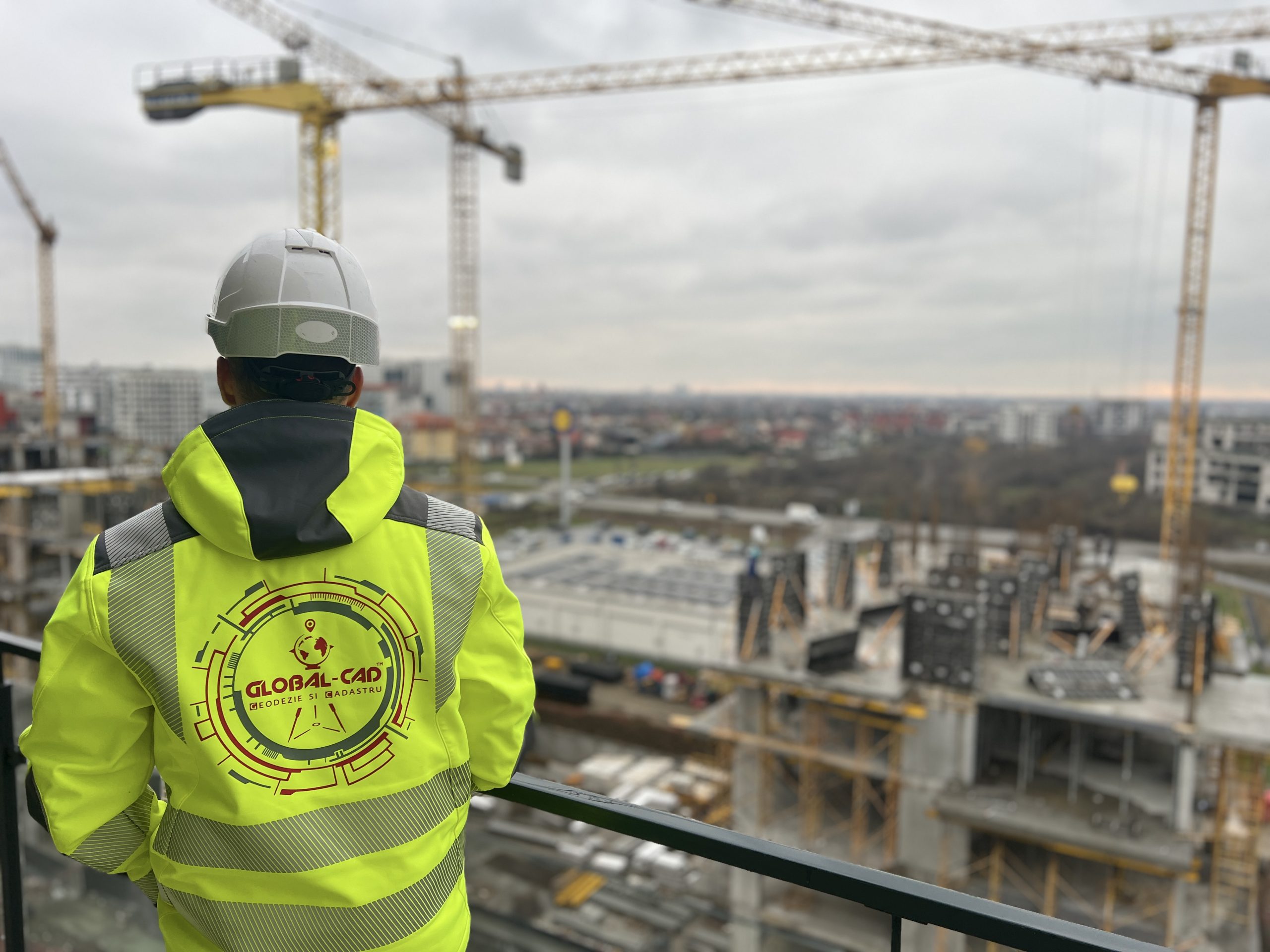
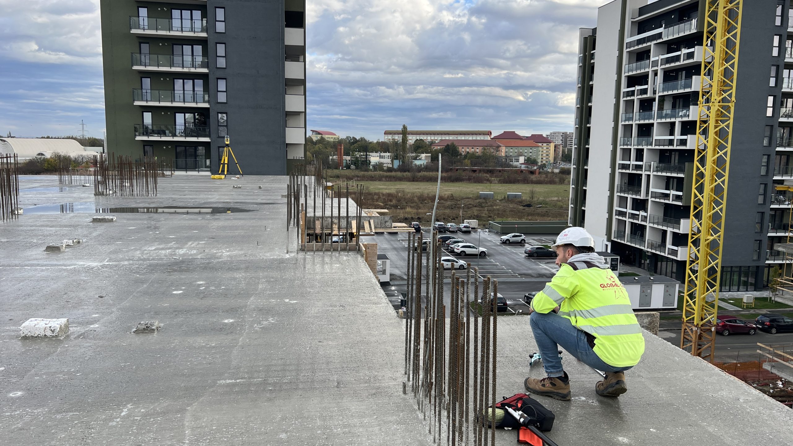
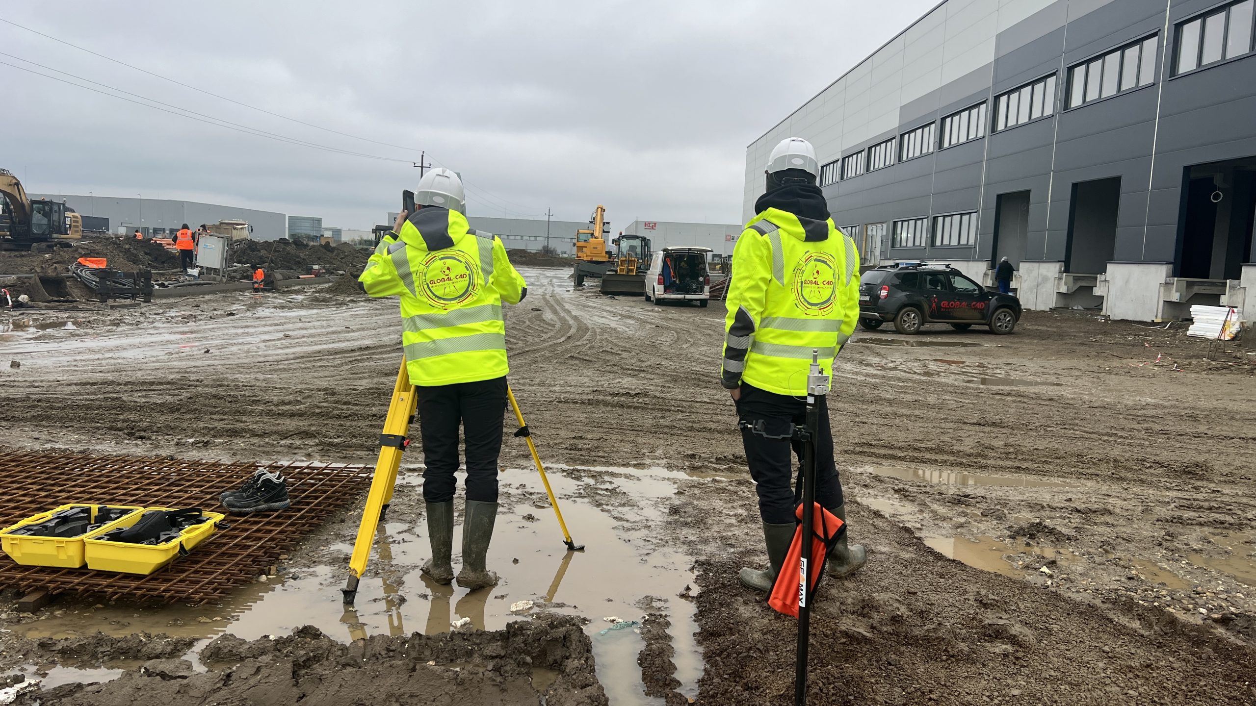
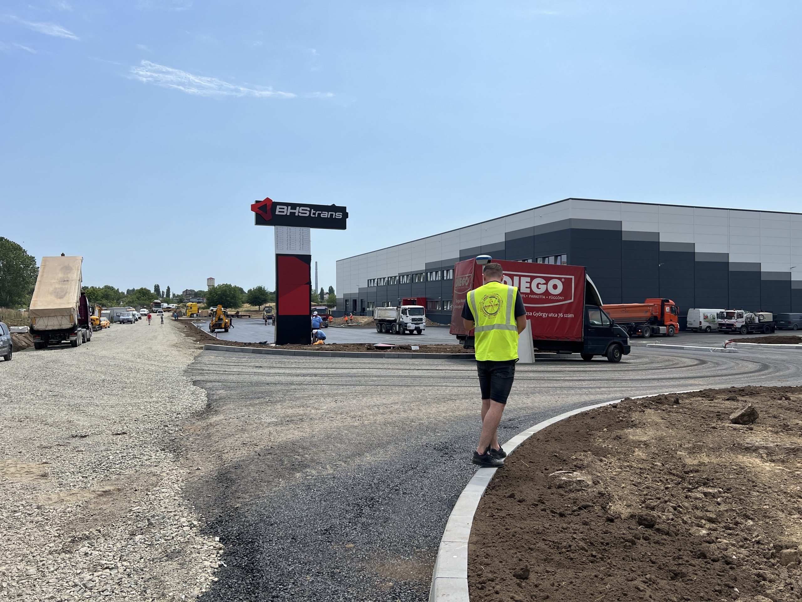
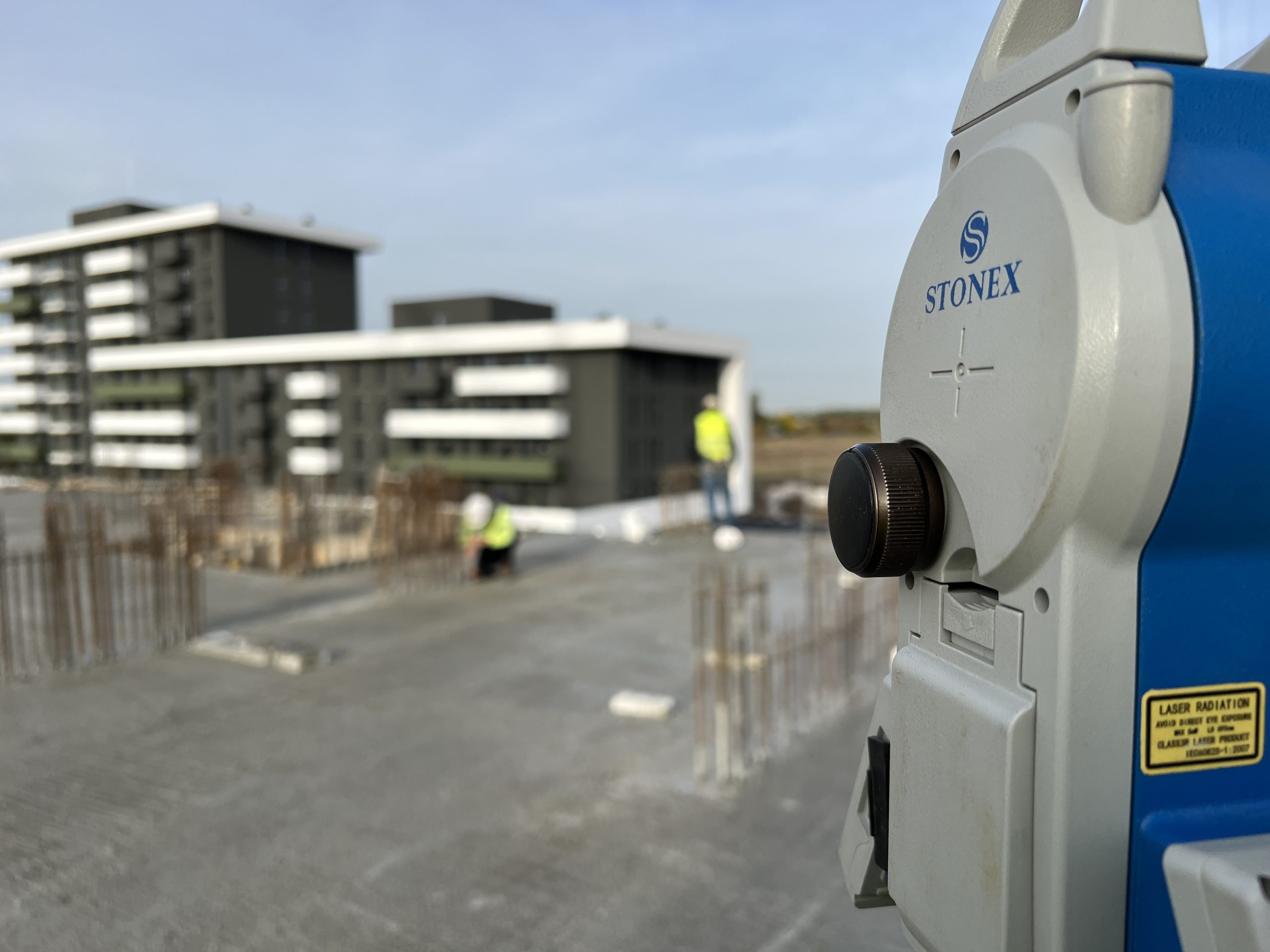
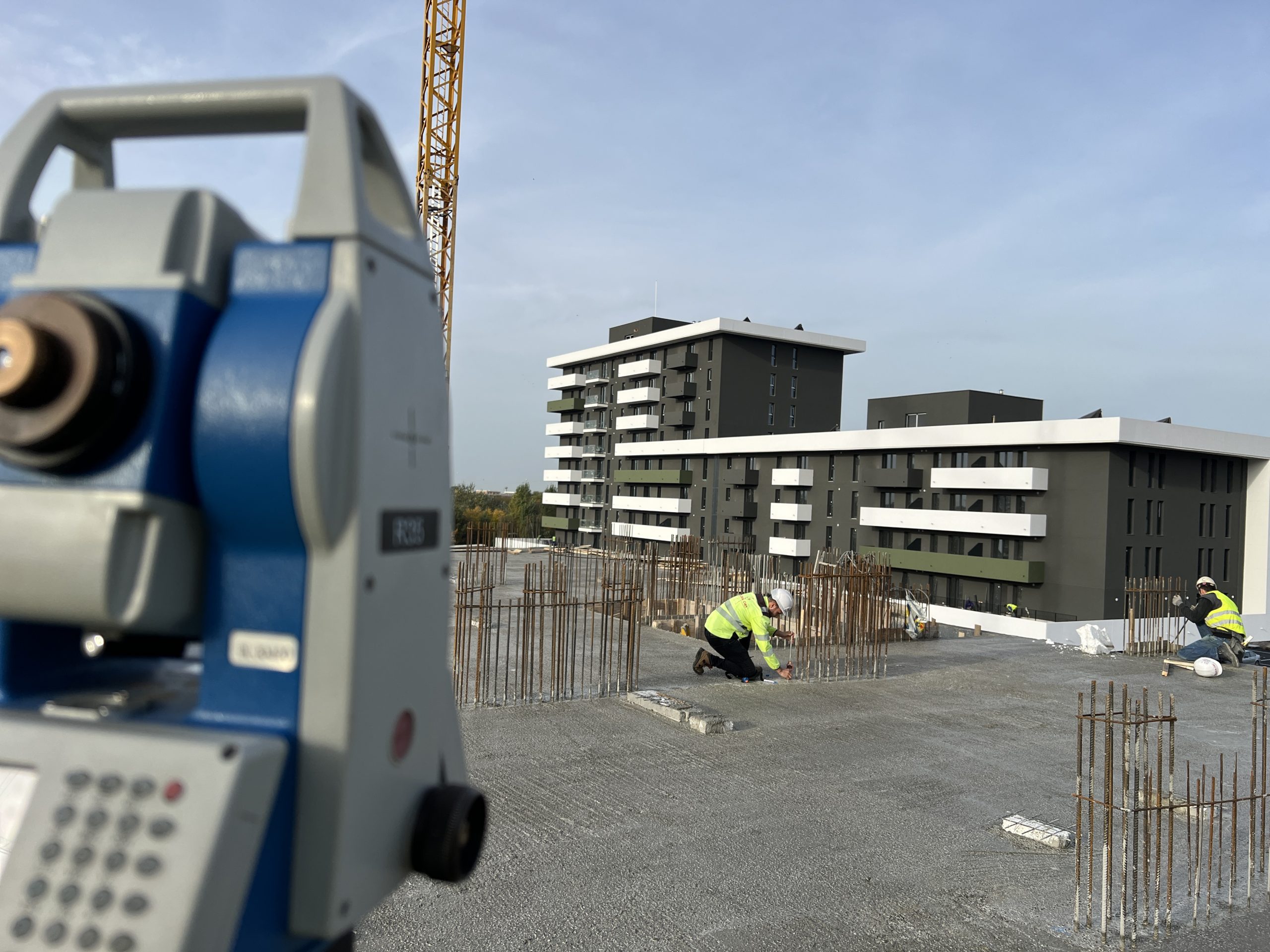
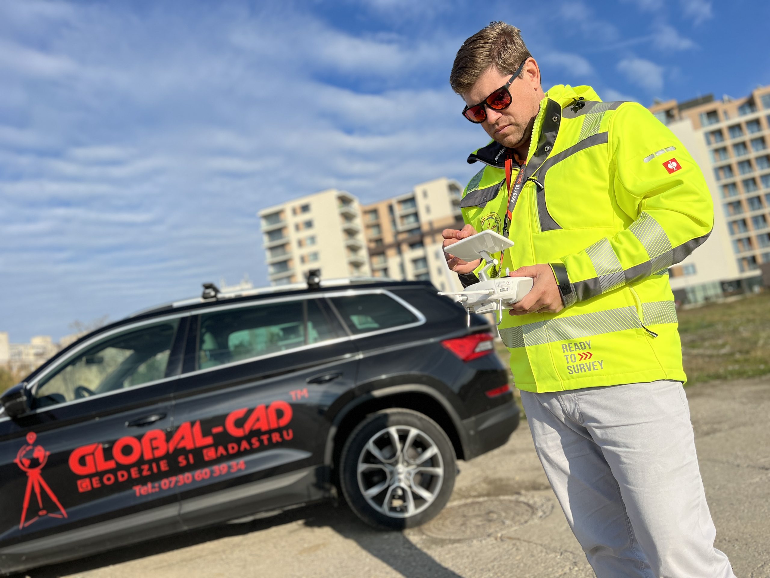
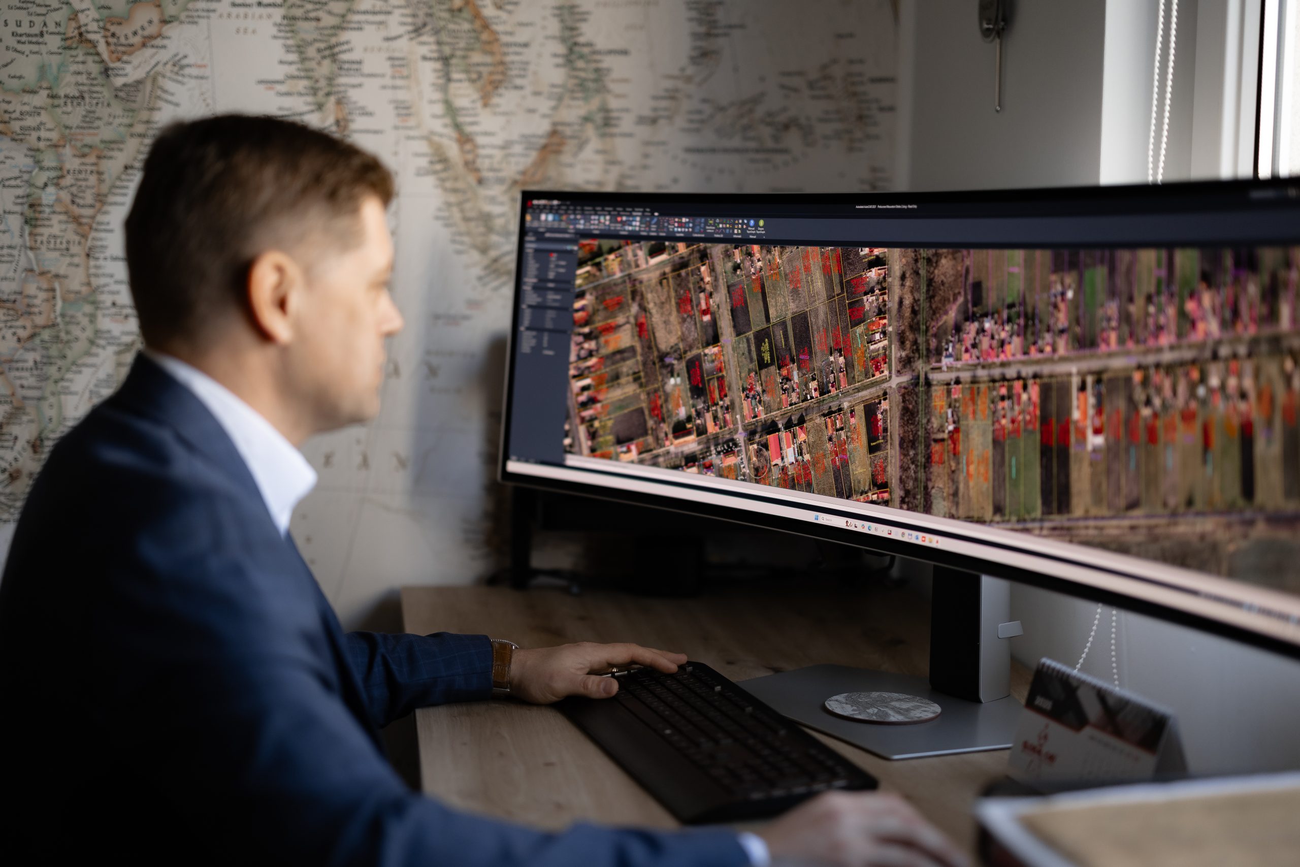
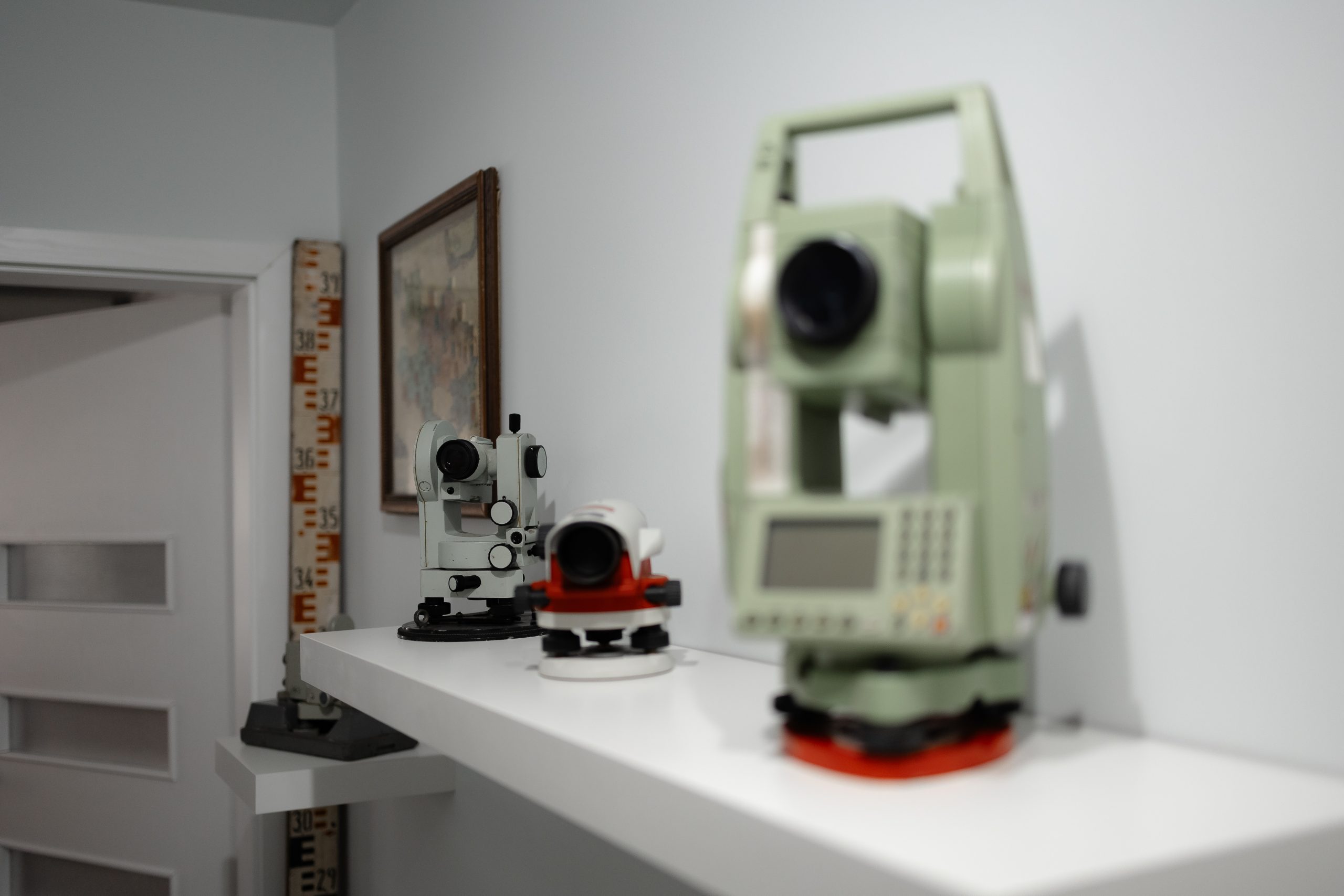
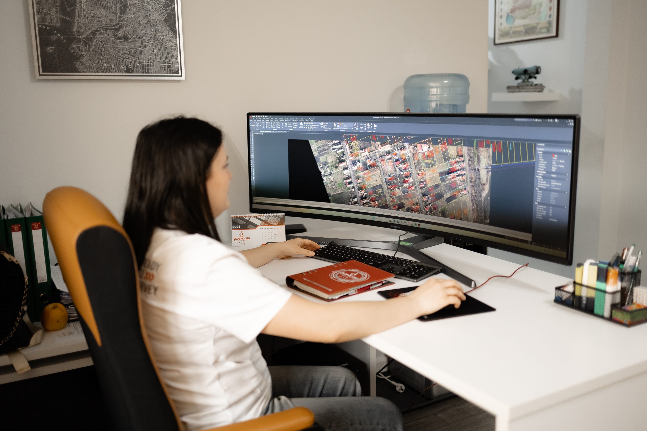
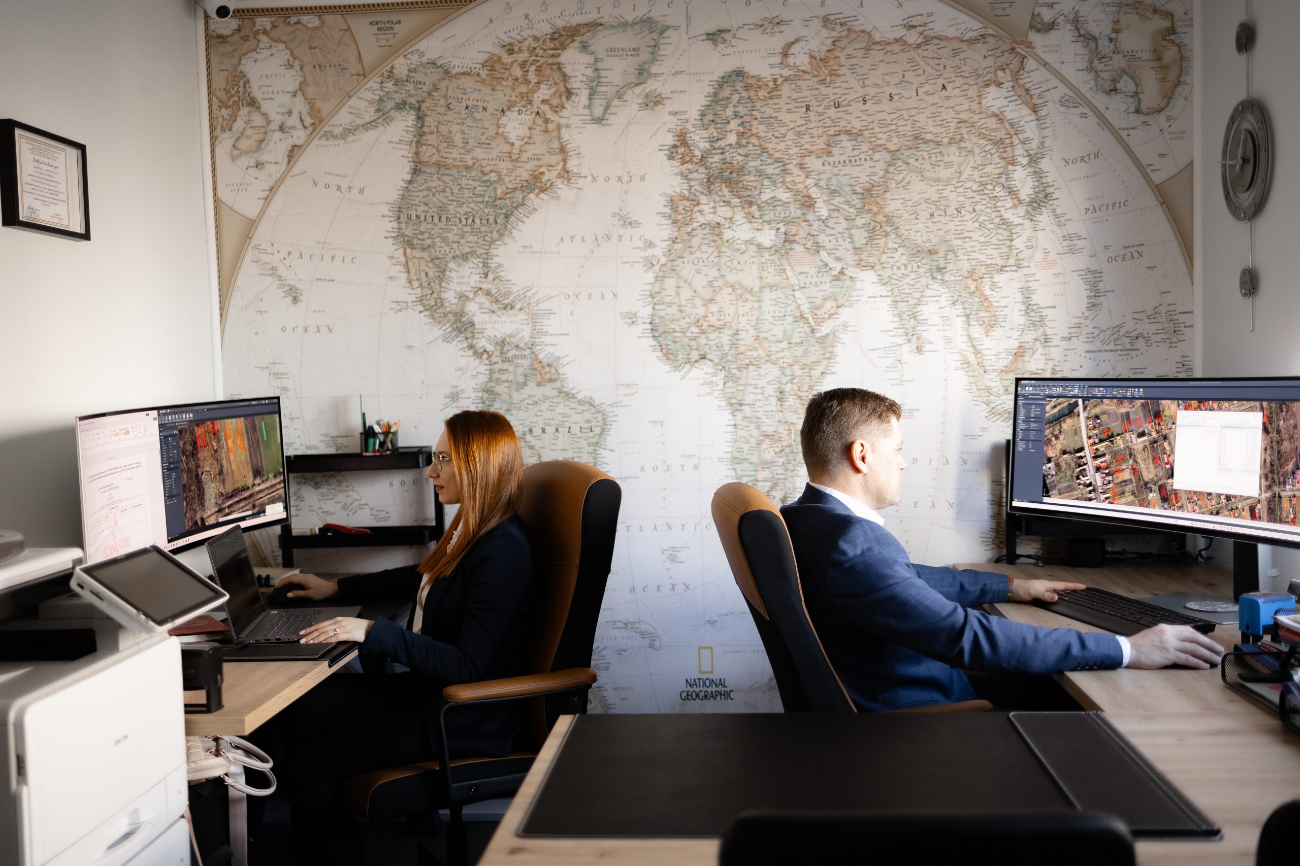
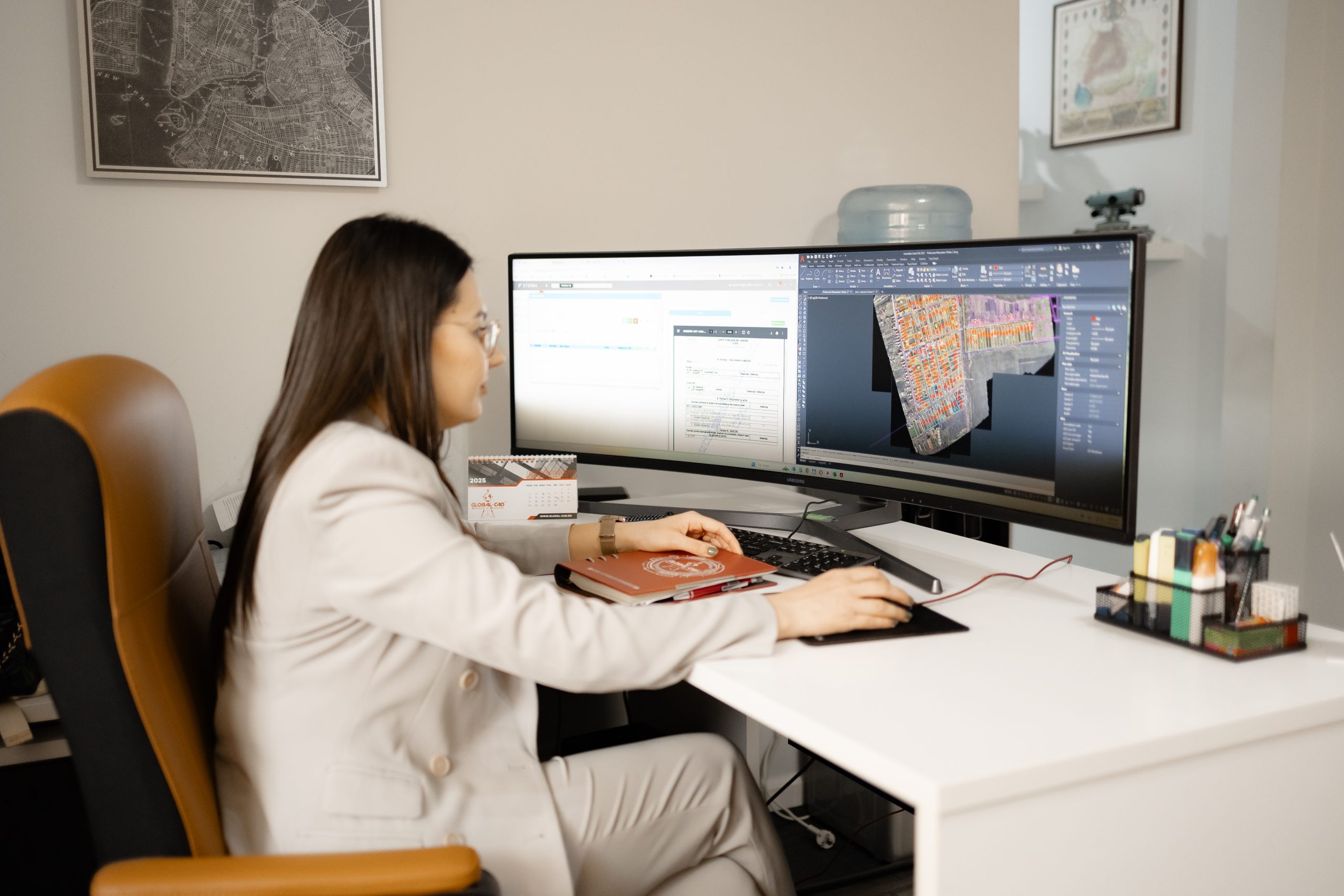
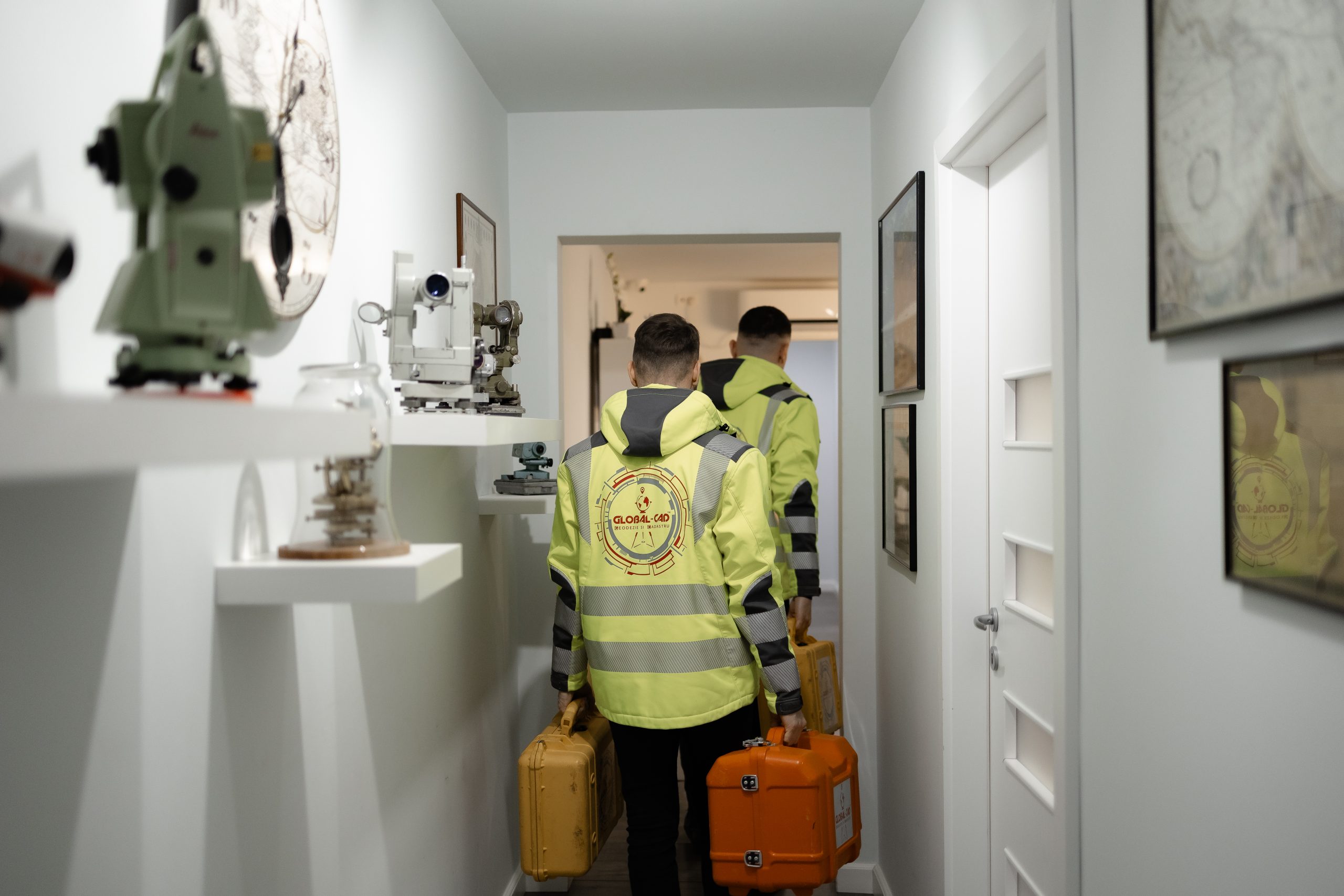
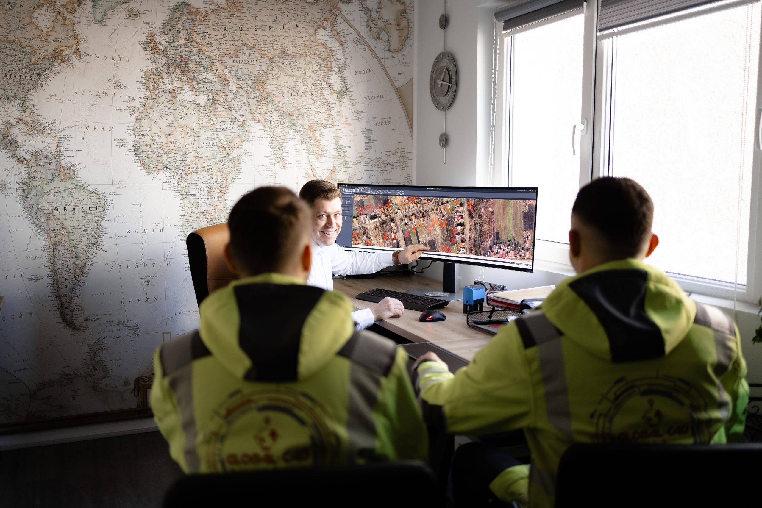
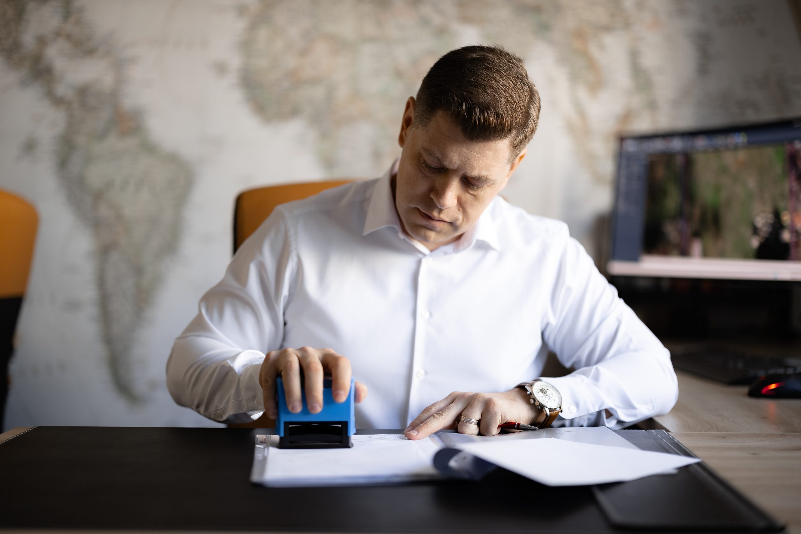
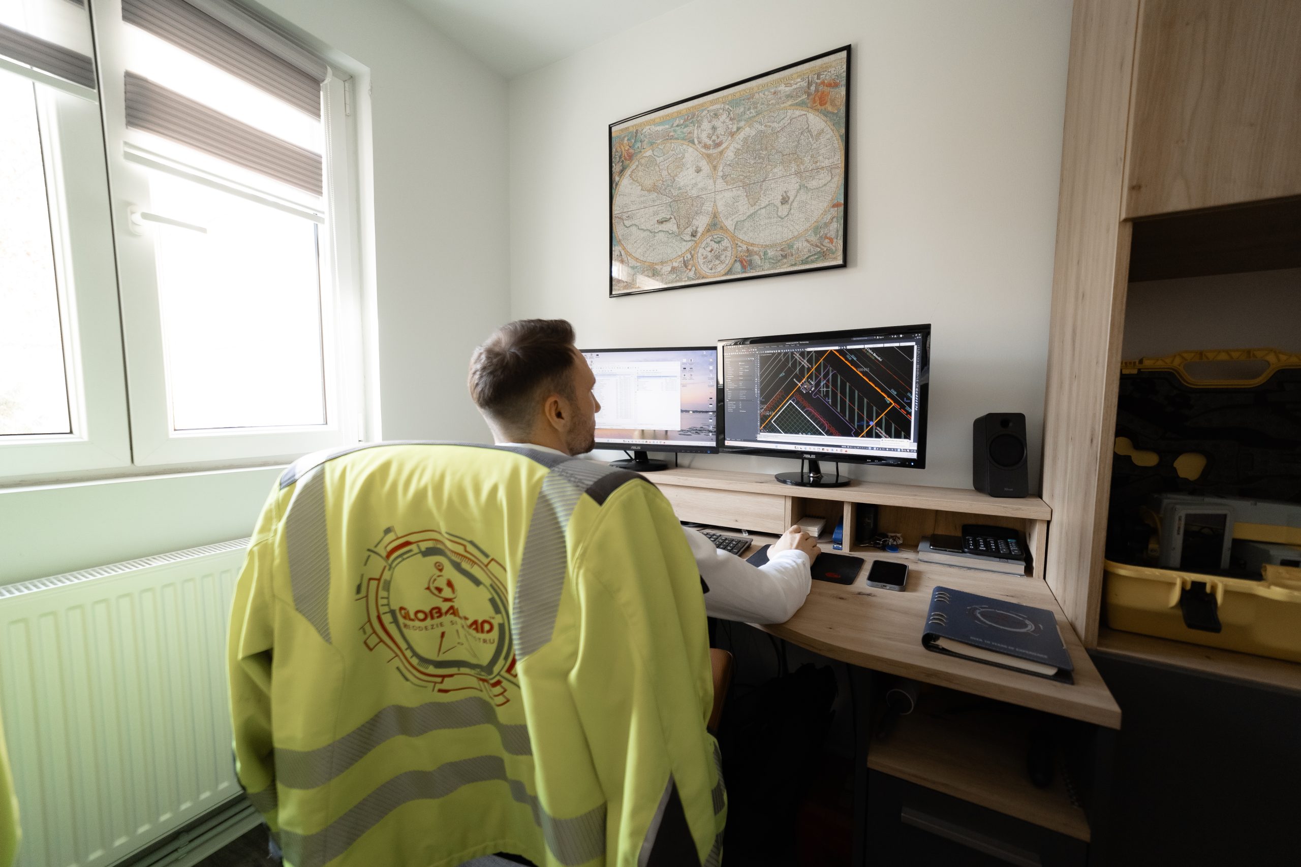
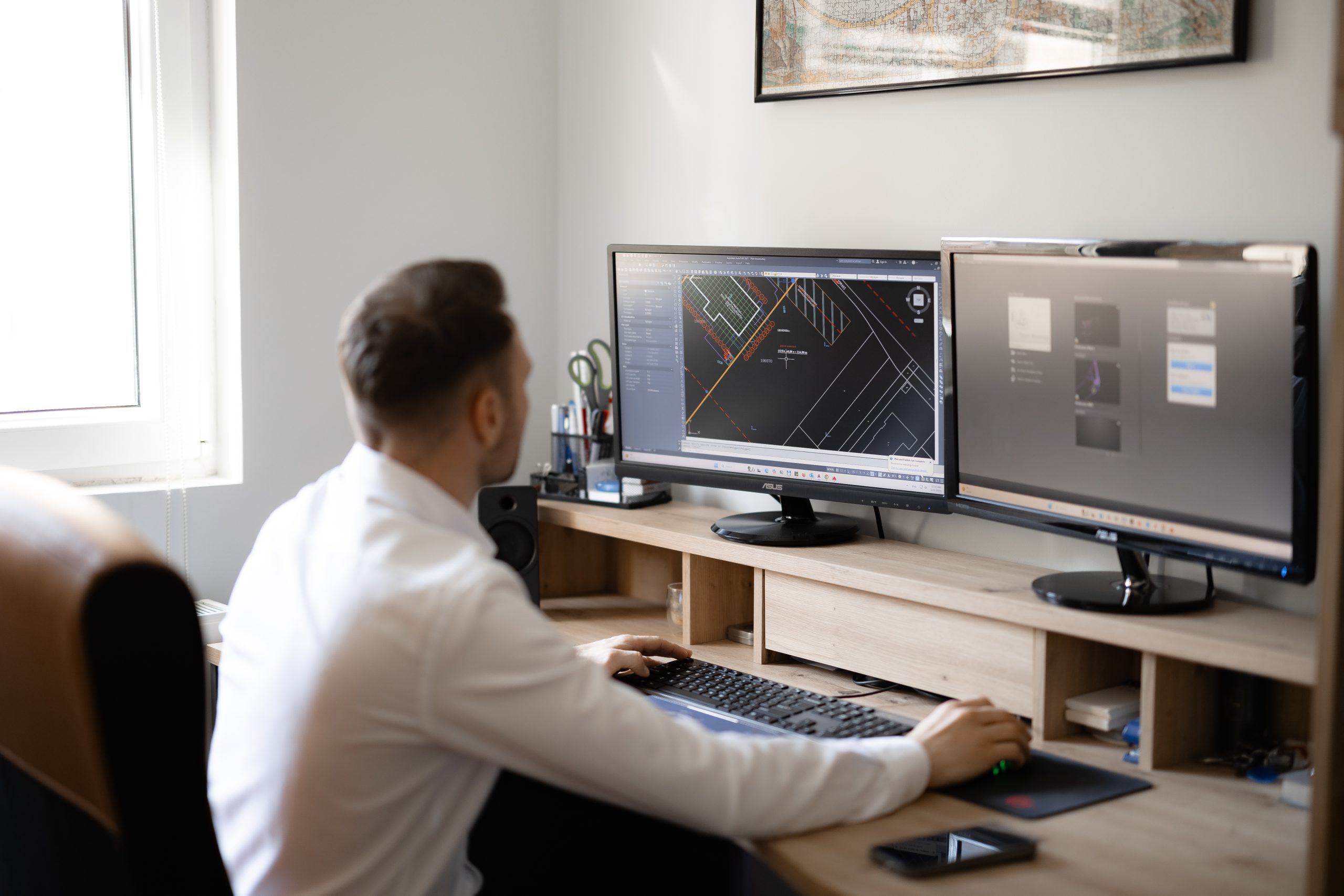
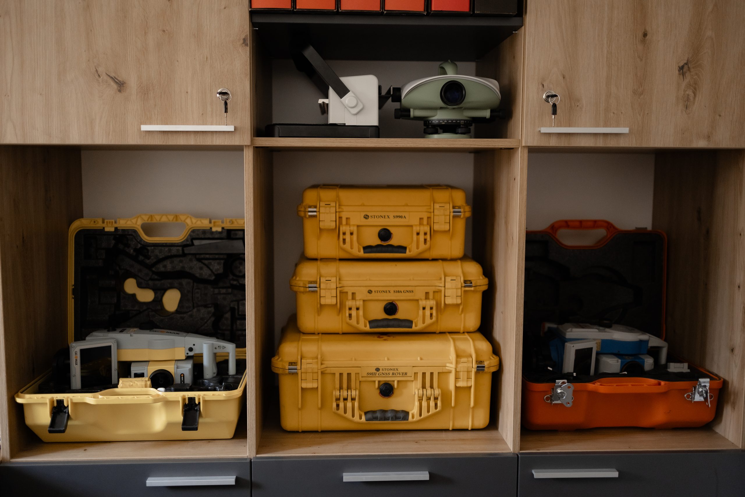
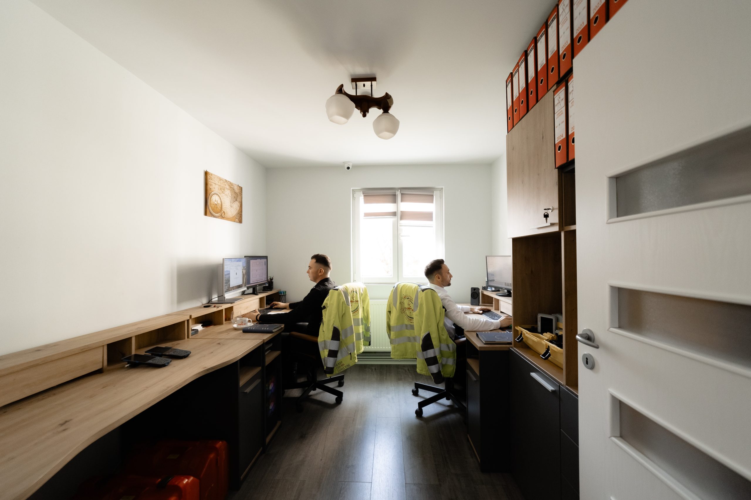
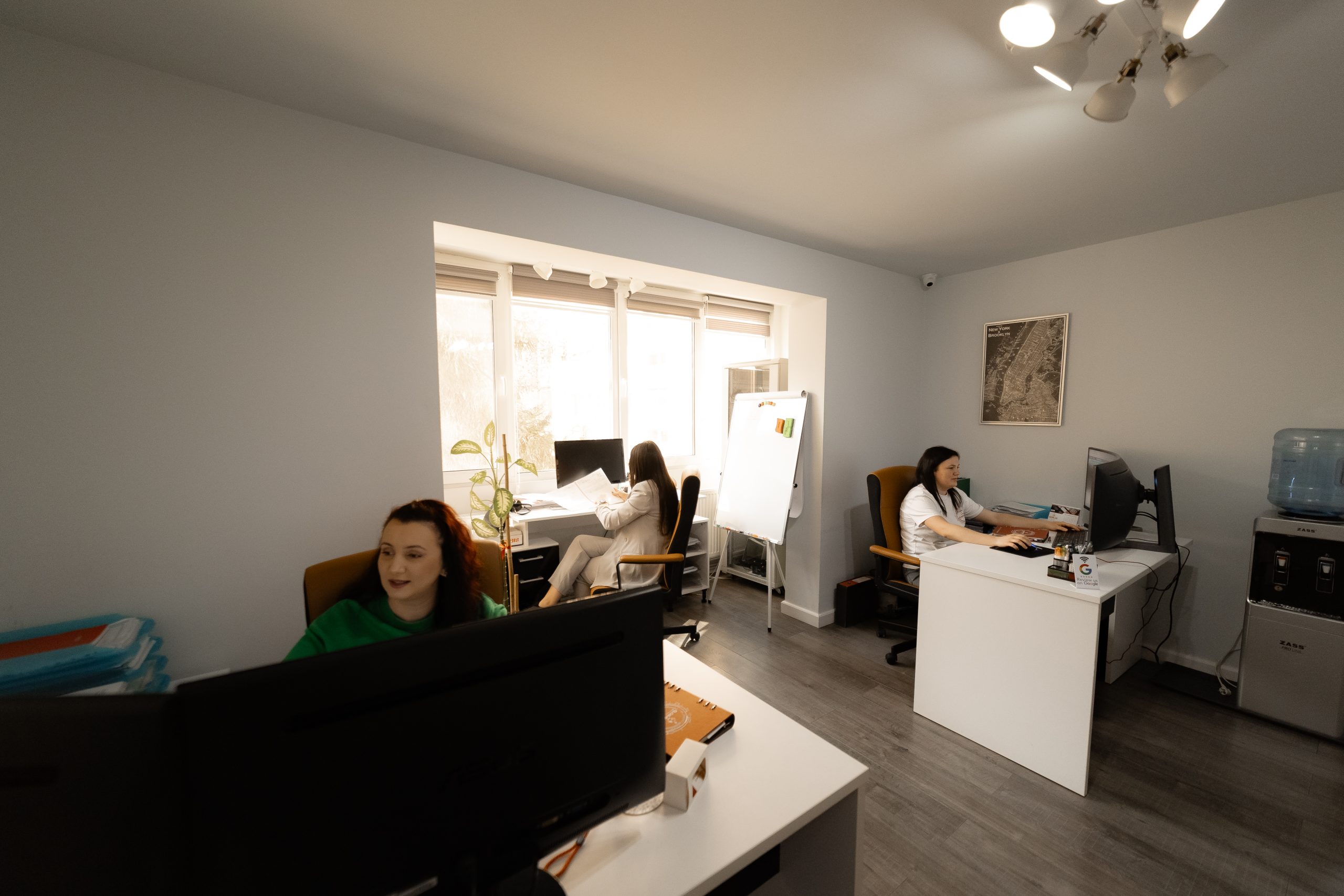
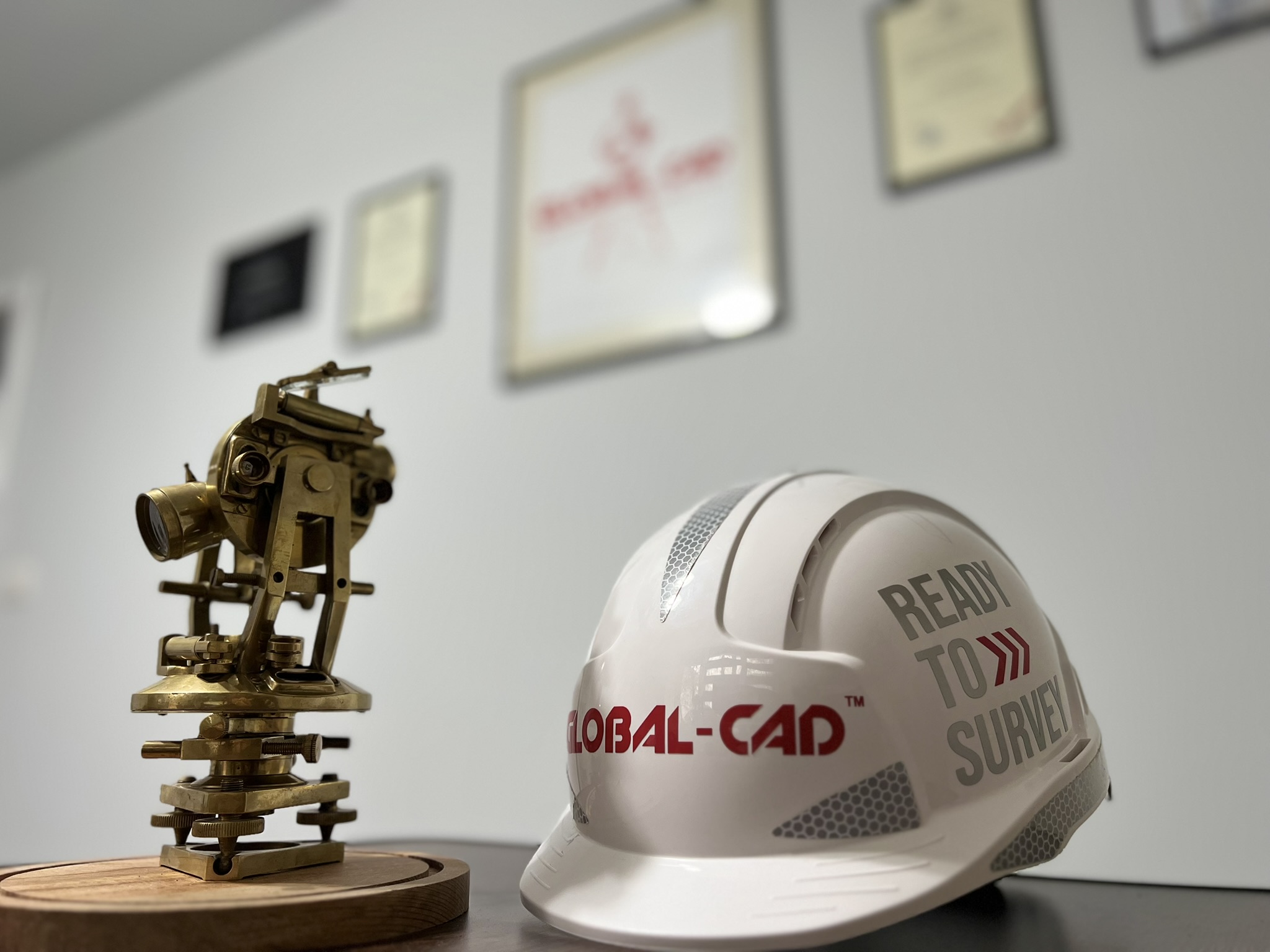
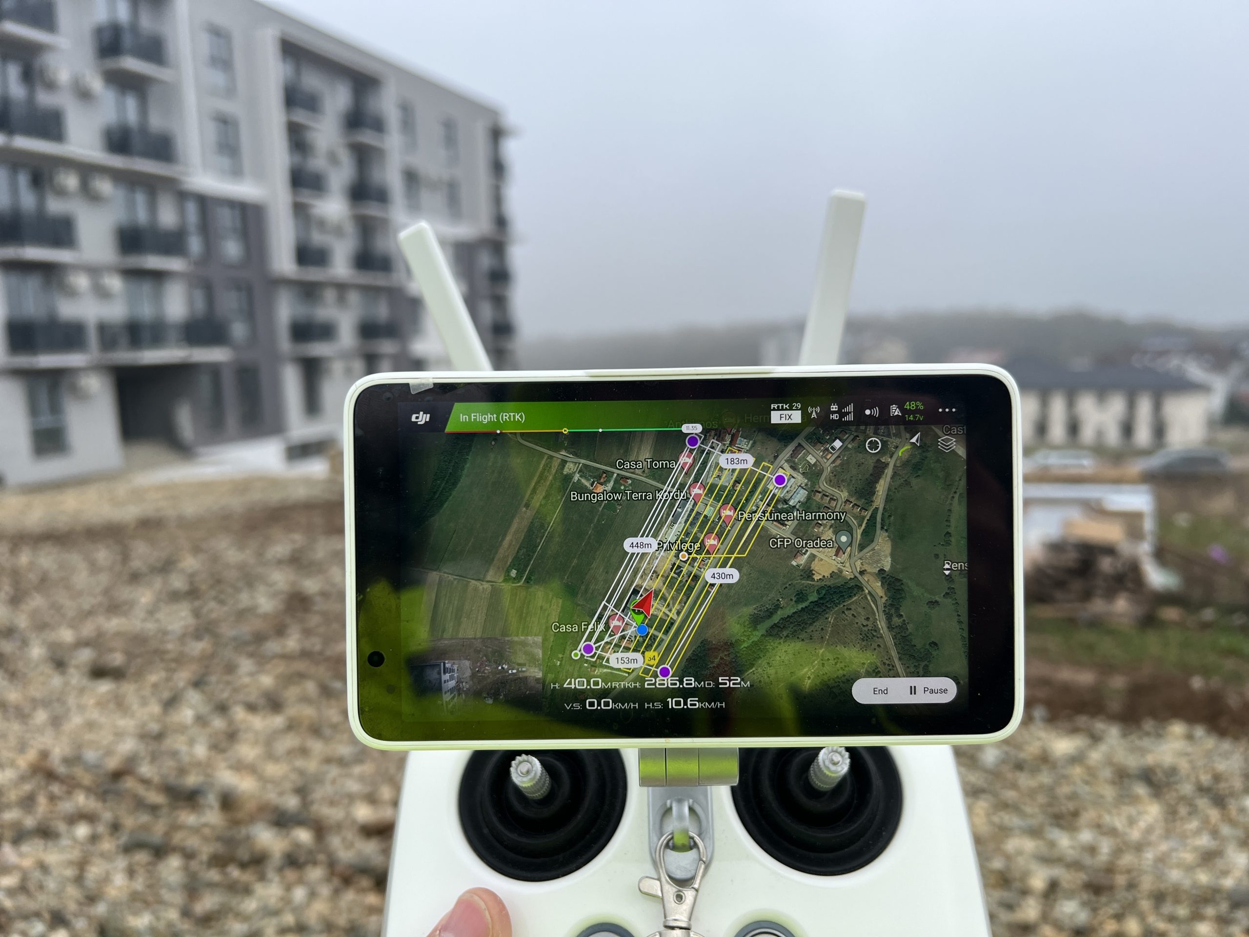
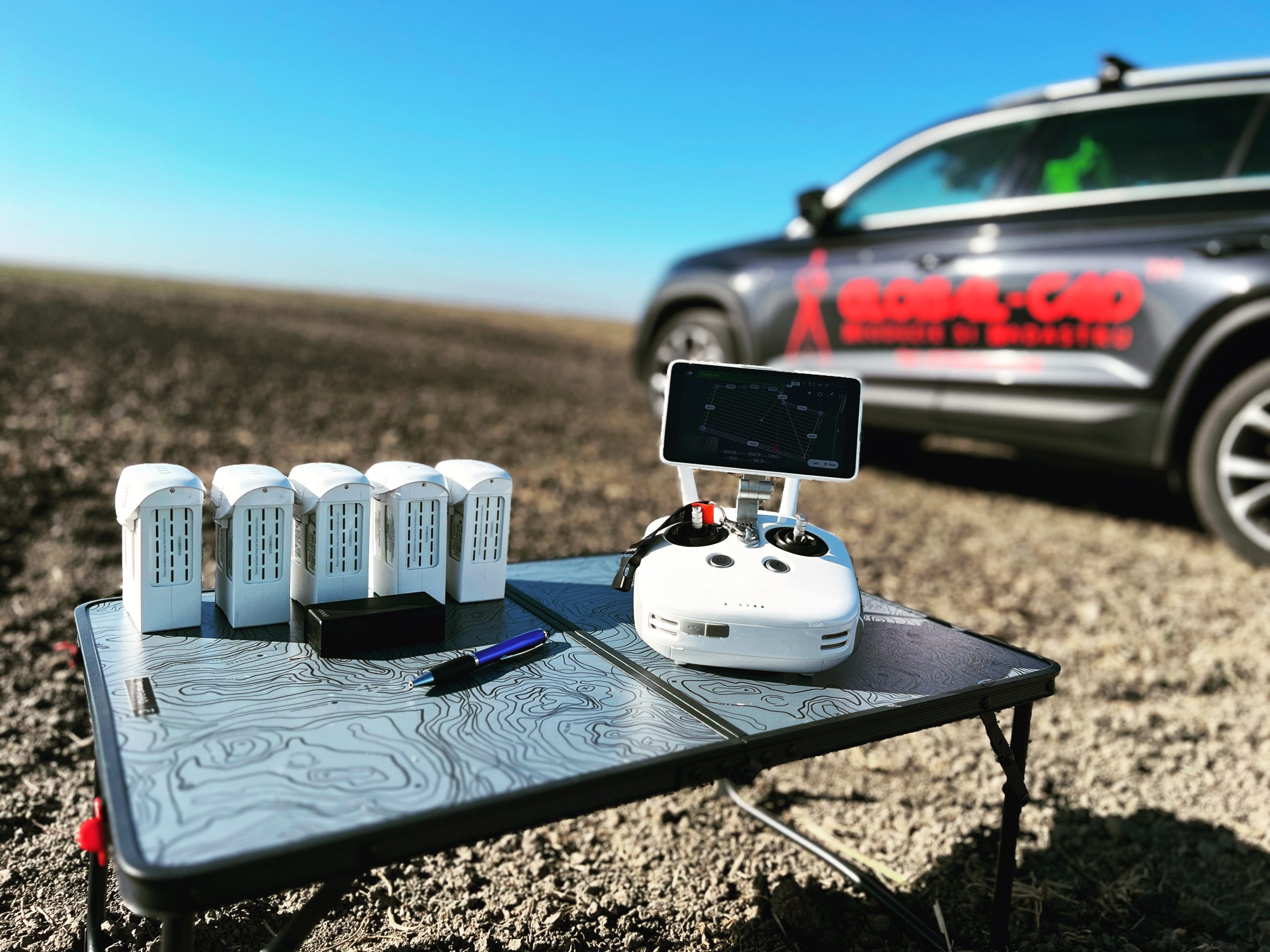
We are a company established in 2007 with years of experience in successfully representing our clients in the fields of land surveying, cadastre, and real estate publicity. Our goal is to provide services at the highest level of professionalism. We achieve this by combining the dedication and expertise of our team with state-of-the-art equipment.
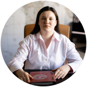
Qualifications

Our company is AUTHORIZED to perform cadastral, geodesy, and cartography work by A.N.C.P.I., holding a Class III authorization certificate, series RO-B-J no. 0719/15. Additionally, we take pride in having individually authorized engineers certified by A.N.C.P.I. with categories B and C.

Responsibilities

We understand that you rely on us for various projects, whether routine or complex, and we recognize that this is a great responsibility. We gladly accept this responsibility and look forward to any new challenge.

Values

Our team consists of qualified and experienced engineers in performing cadastral, geodesy, and cartography work, as well as possessing the necessary legal knowledge in the field to provide an efficient service.

TEAM

Highly qualified specialists

BIRO LEVENTE

BIRO CARINA

BURESIN MARICA

DICU O. CLAUDIA

MICLOS ADELINA

KOSKA ERIK

GREAVU IOAN

``THE REWARD FOR A JOB WELL DONE IS, ALWAYS, AN ADDITIONAL TASK.``

Mark Twain

SERVICES

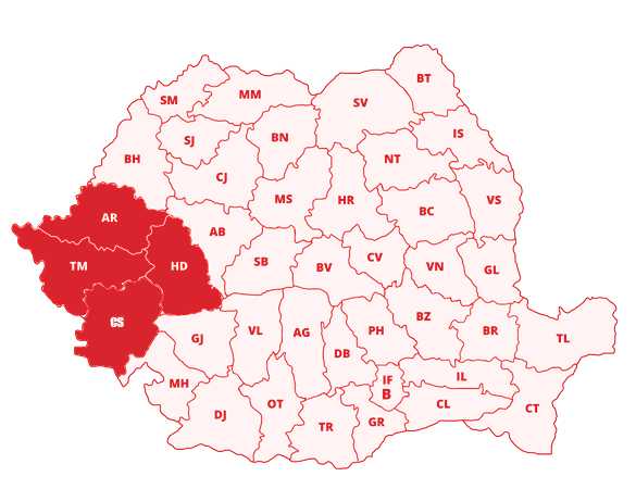
We offer our services throughout Romania, with a focus on the counties of Timiș, Arad, Caraș-Severin, and Hunedoara.

DOCUMENTATIONS

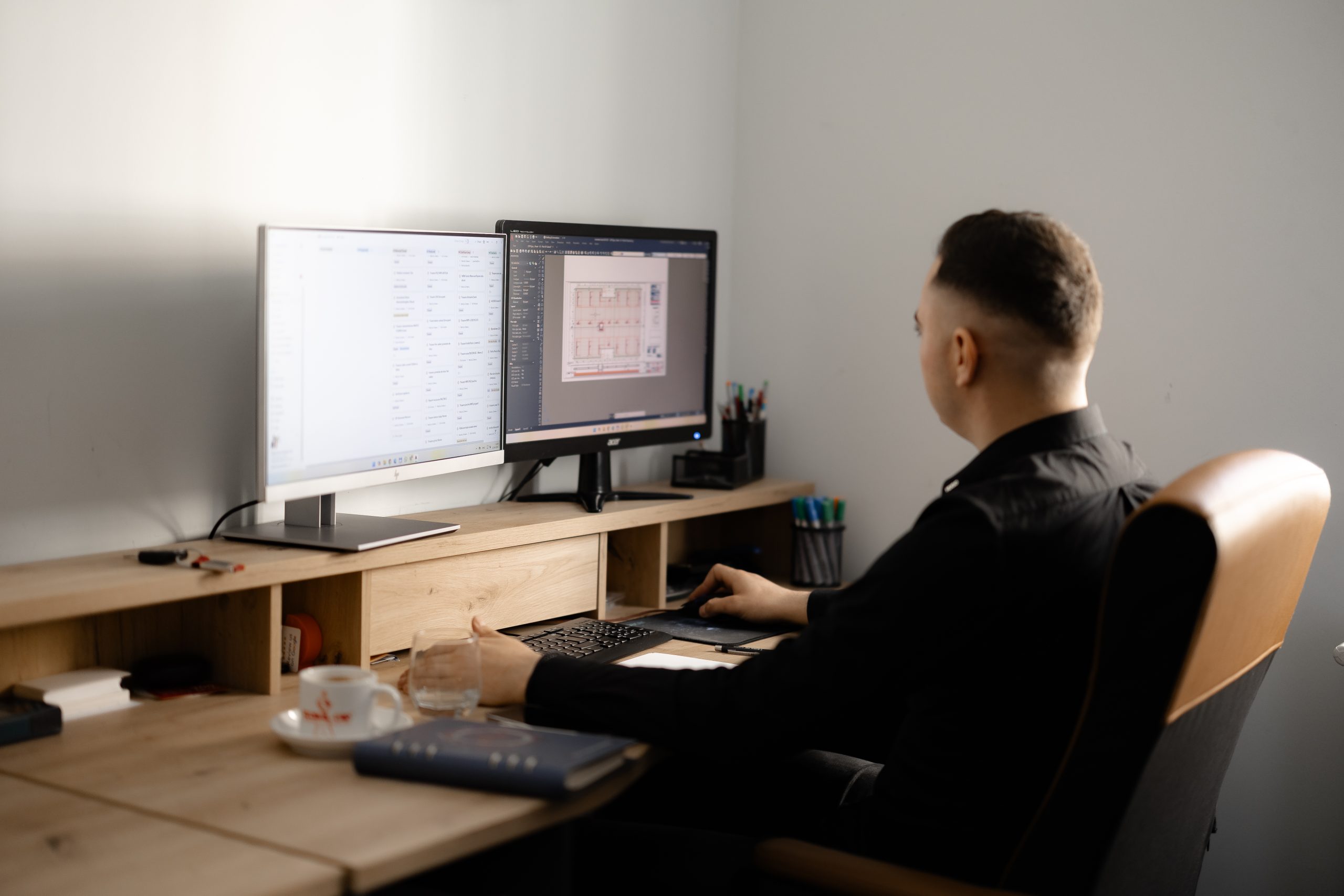
We are here to assist you by preparing a wide range of documentation and providing you with the best advice to make an informed decision.

Registration of agricultural and forestry lands based on property titles.

Removing lands from the agricultural circuit.

Creating Zone Urban Planning projects.

Subdivision of buildings into apartments.

Obtaining exploitation permits for resources.

Registration of civil and industrial buildings.

Creating industrial construction projects.

Taking possession of lands for the issuance of property titles.

Creating civil construction projects.

Creating General Urban Planning projects.

Merging urban and rural lands.

Creating utility network projects.

Subdividing urban and rural lands.

Creating railway, road, and bridge projects.

Specialized technical consultancy.

Geodesy

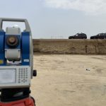
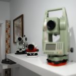
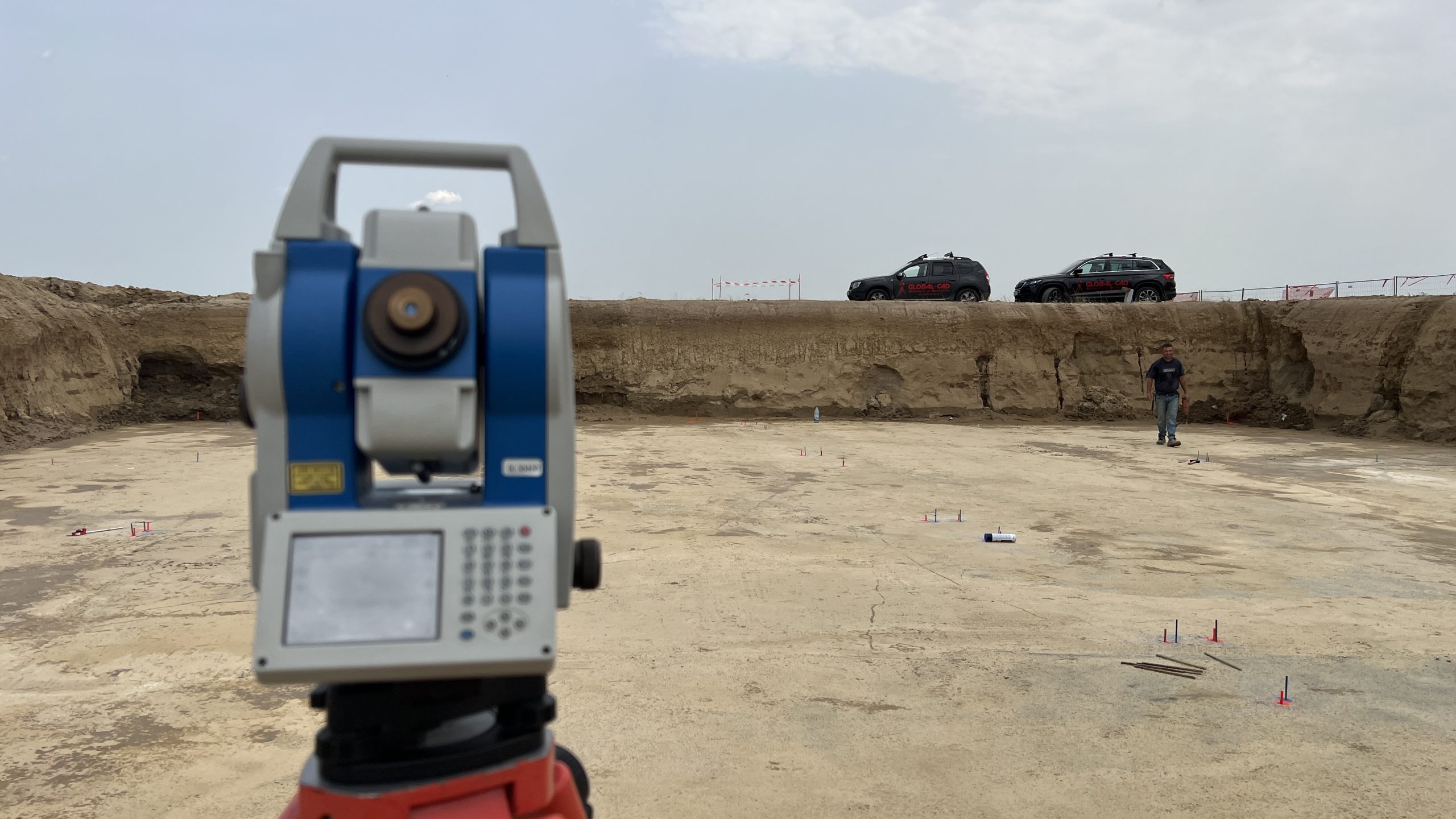
The science that deals with the precise determination of the shape and dimensions of the Earth or specific portions of its surface.

Cadastre

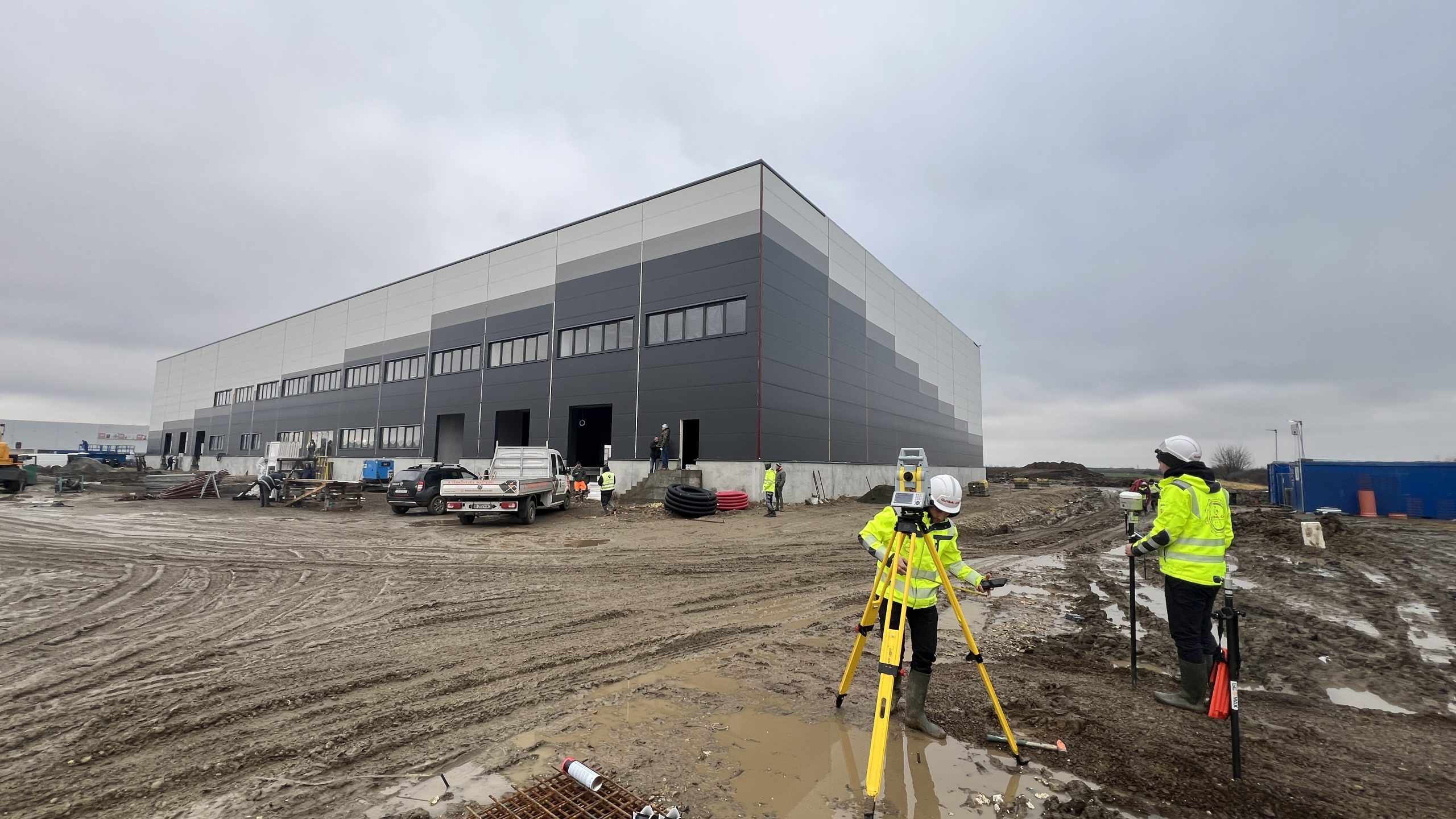
The unified and mandatory system for the technical, economic, and legal registration of all properties within an administrative territory.

Engineering Surveying

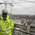
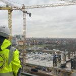
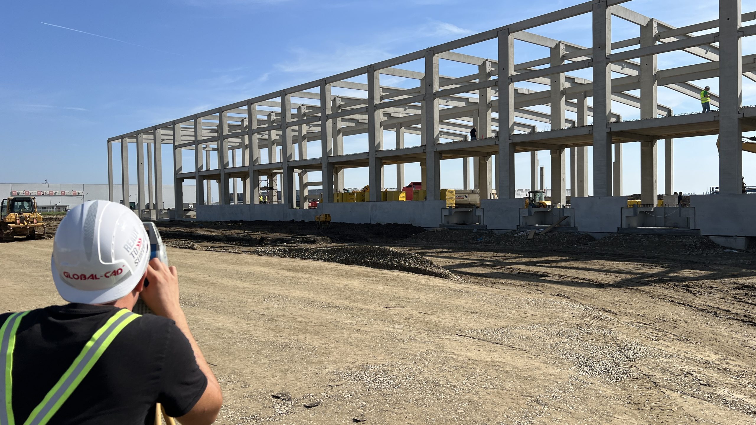
A synthesis discipline that participates in the design and implementation process of investments of any kind.

Design / Architecture

It is the science and art of designing and constructing buildings and building complexes according to certain proportions and rules.

``THE ENCHANTING MAGIC OF THIS SUBLIME SCIENCE IS REVEALED ONLY TO THOSE WHO HAVE THE COURAGE TO DIG DEEP INTO IT!``

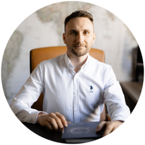
Carl Friedrich Gauss

GALLERY

Aspects of our activity

Do you have a project in our field of activity?

We advise you in choosing the best solution and provide the contracted services with maximum promptness and impeccable quality.
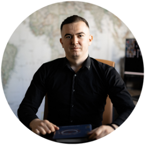
Contact us!Call us! 0730603934

``TO EVOLVE, YOU MUST BE WILLING TO MAKE YOUR PRESENT AND FUTURE DIFFERENT FROM YOUR PAST. YOUR HISTORY IS NOT YOUR DESTINY.``

Alan Cohen

COLLABORATORS

0
%
SERIOUSNESS
0
%
PUNCTUALITY
0
%
PROFESSIONALISM
0
%
DEDICATION

CONTACT

ADDRESS

Burebista Street No. 1, Block C, Apartment 4, Timișoara, Romania

SCHEDULE

Monday – Friday 8:00 to 16:00

Saturday – Sunday Closed

Contact us

Contact us and we will together establish the working method suited to your needs.

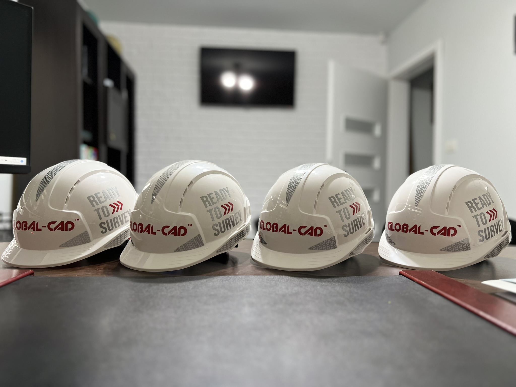
Thank you for choosing GLOBAL-CAD TM.