


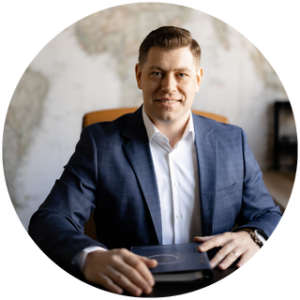
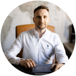
– Aristotel
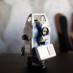
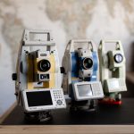
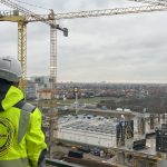
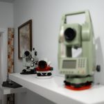
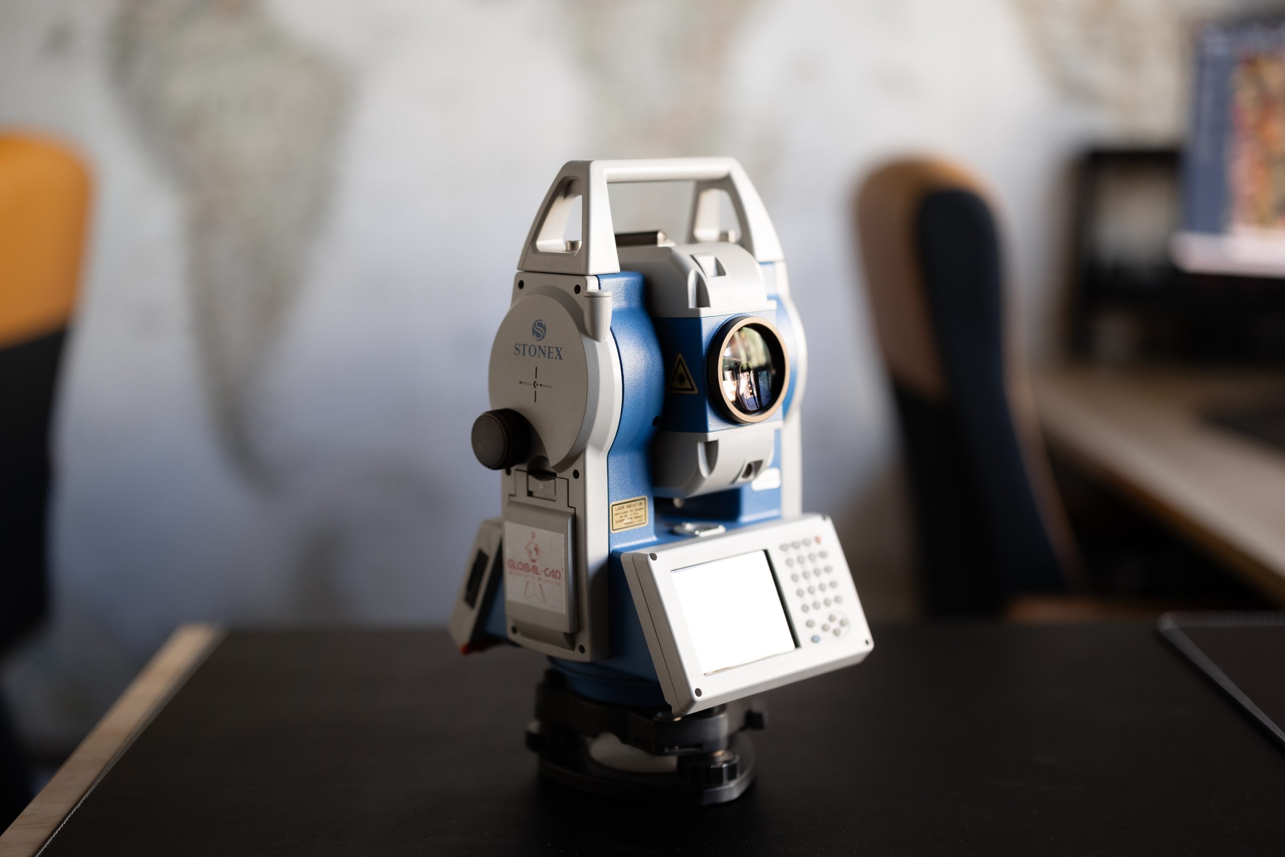
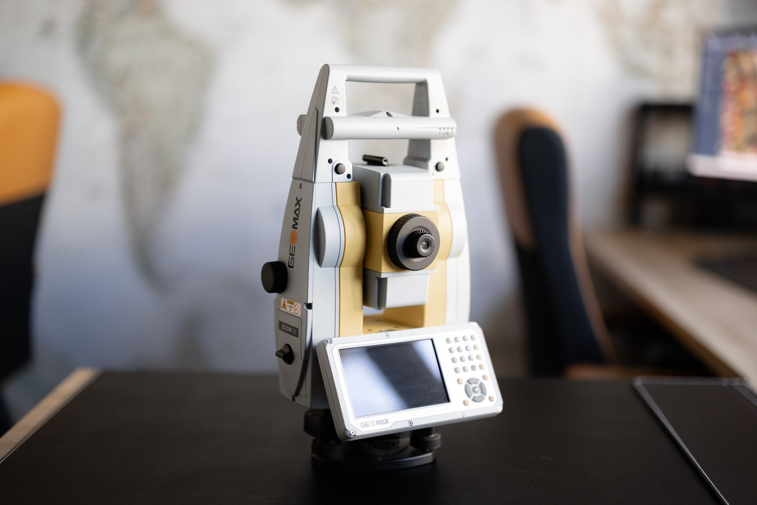
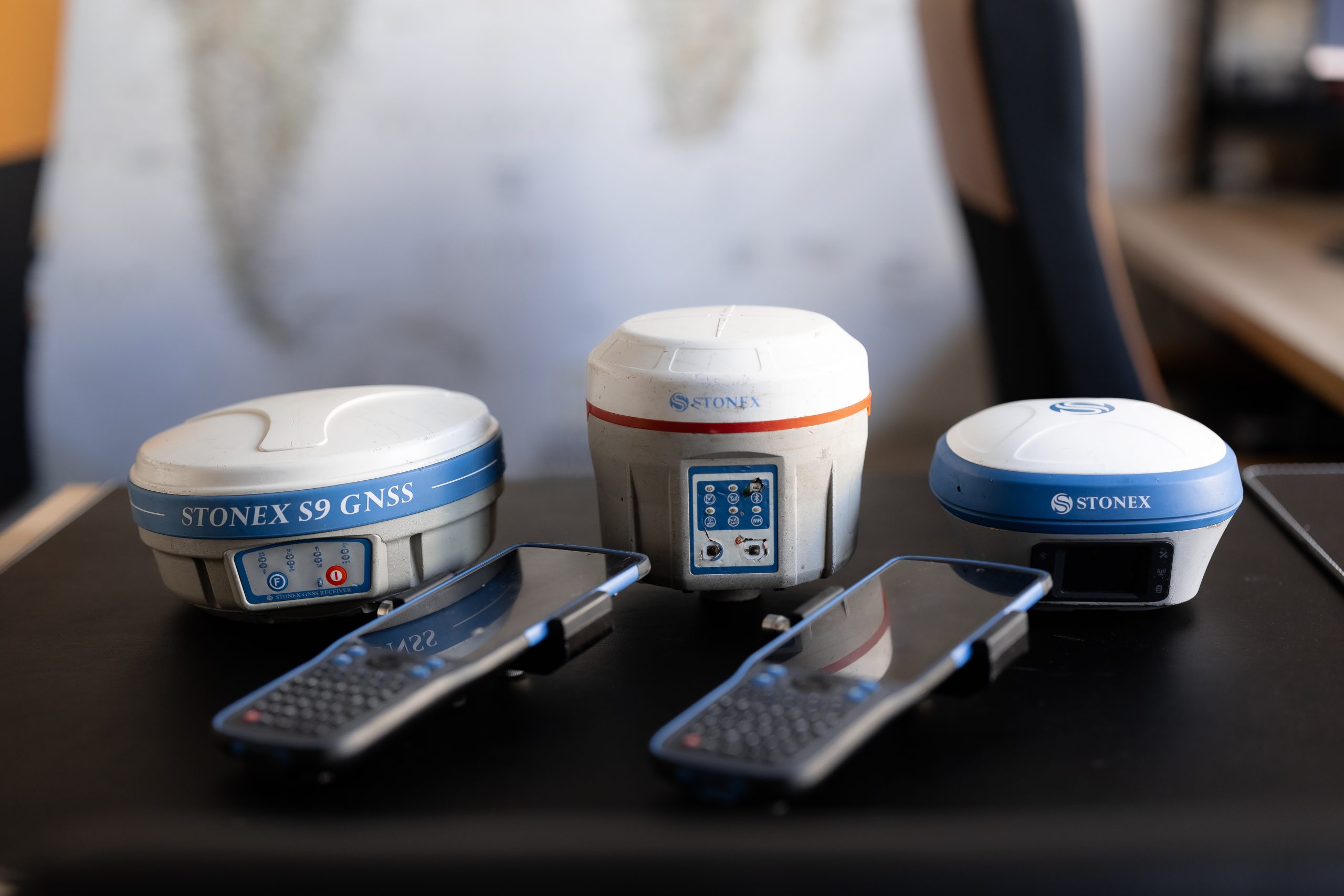
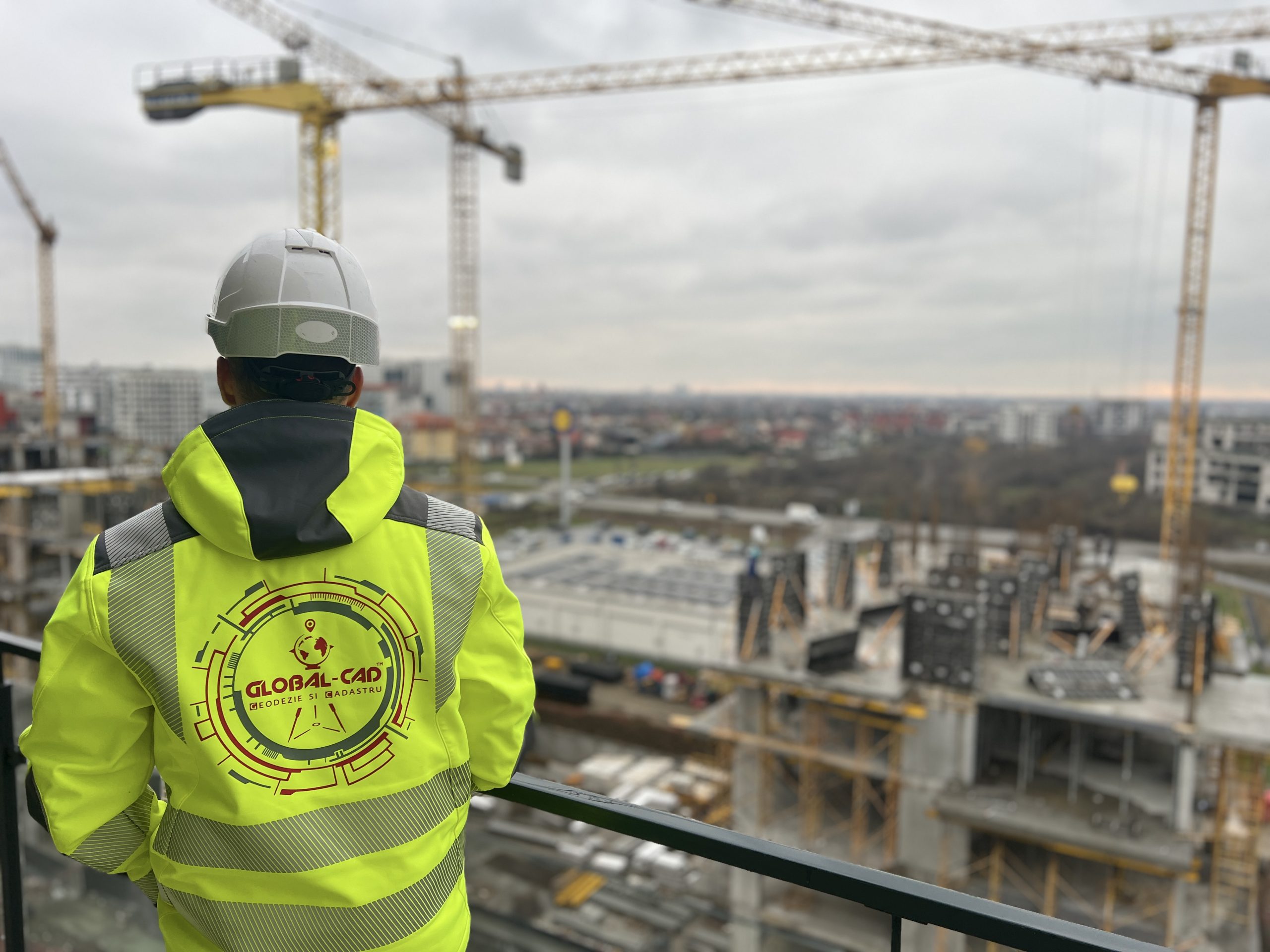
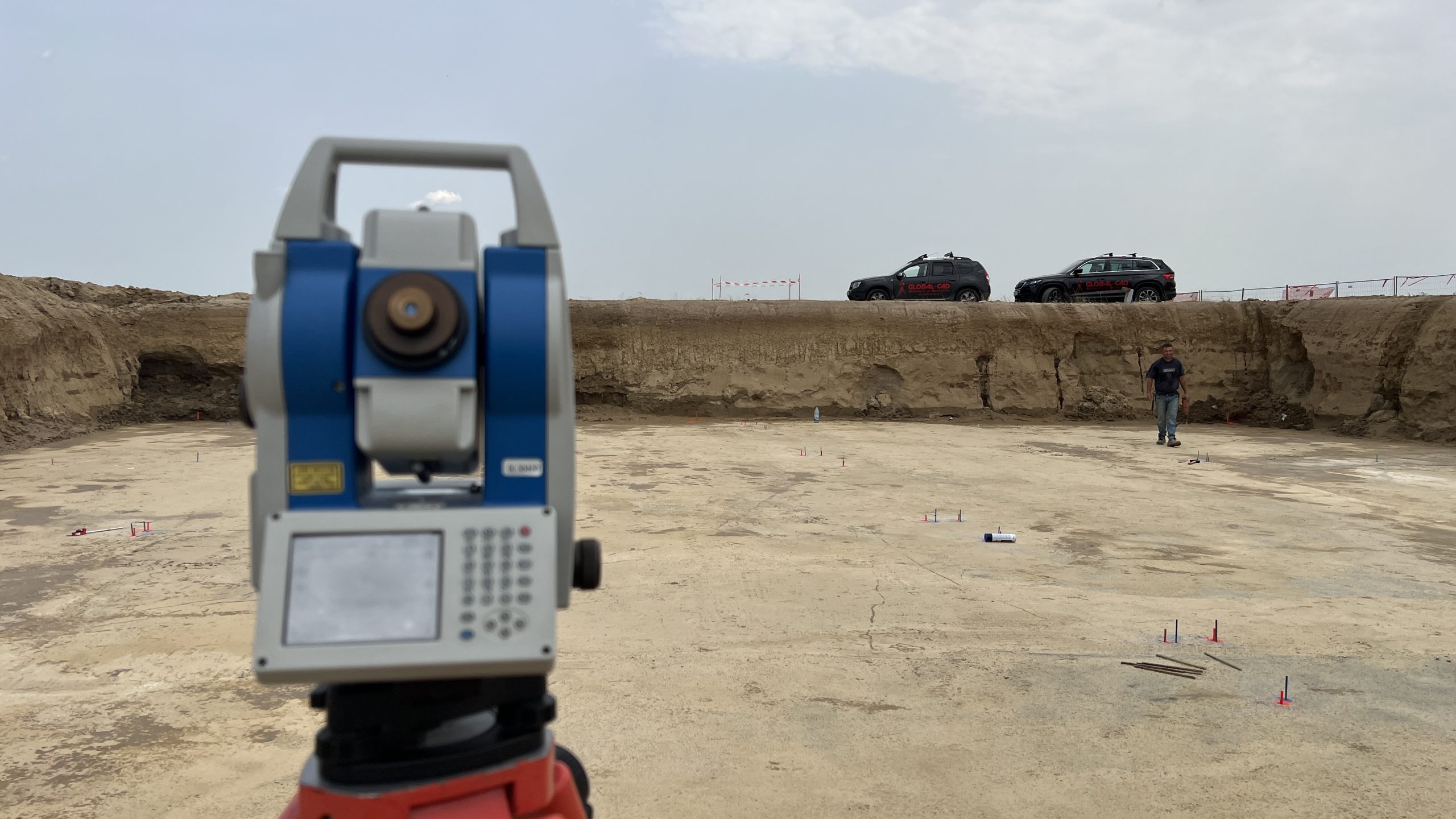
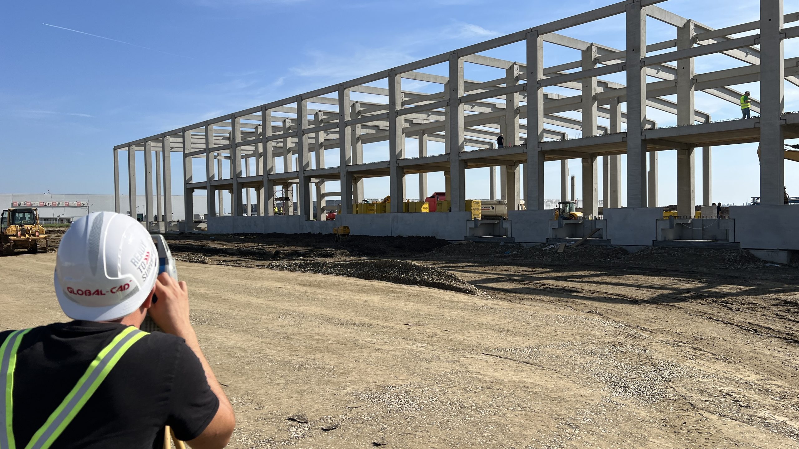
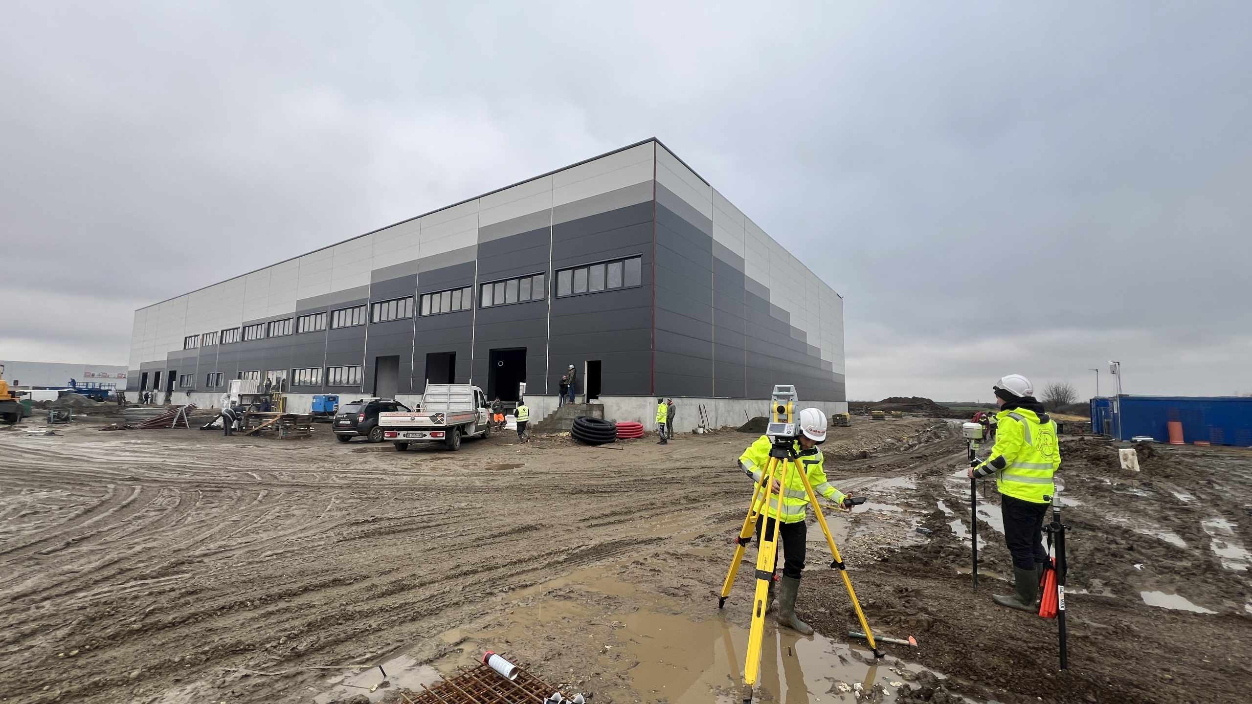
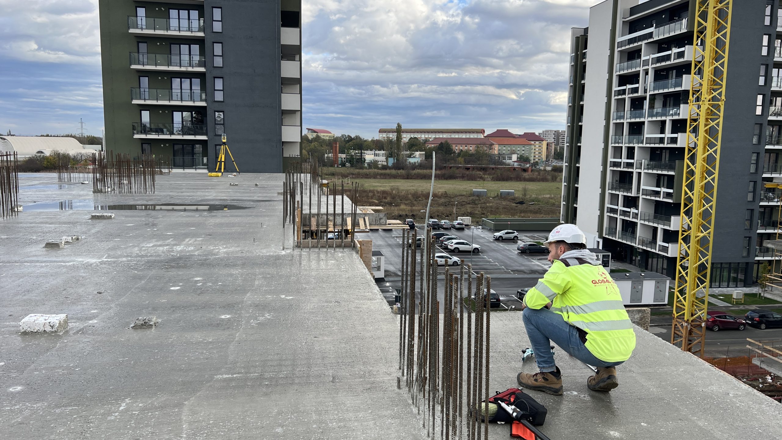
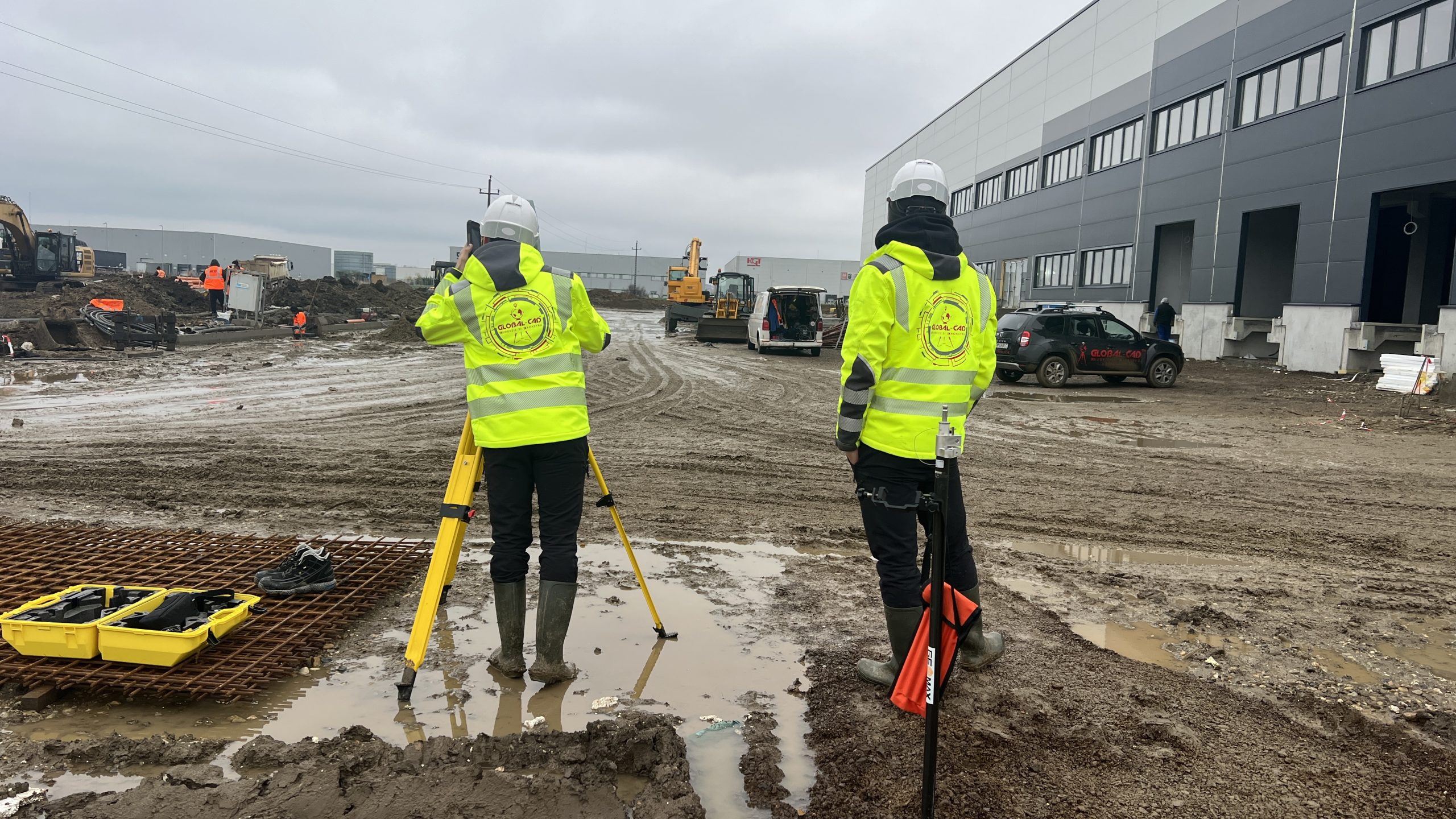
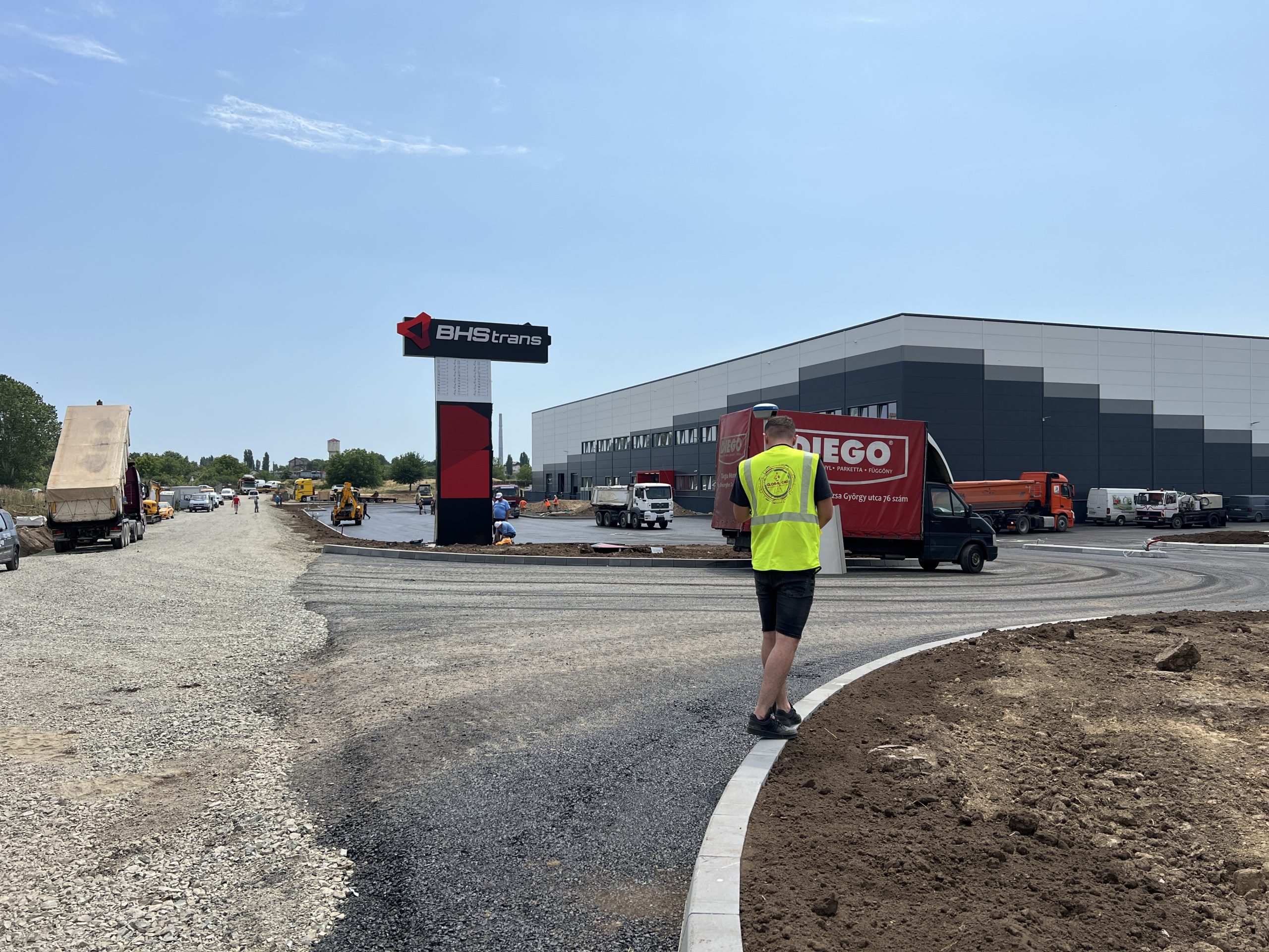
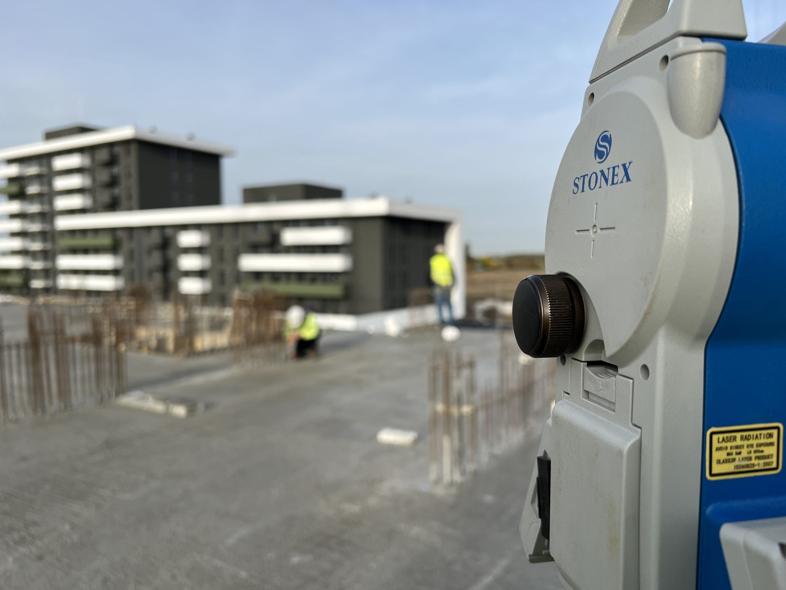
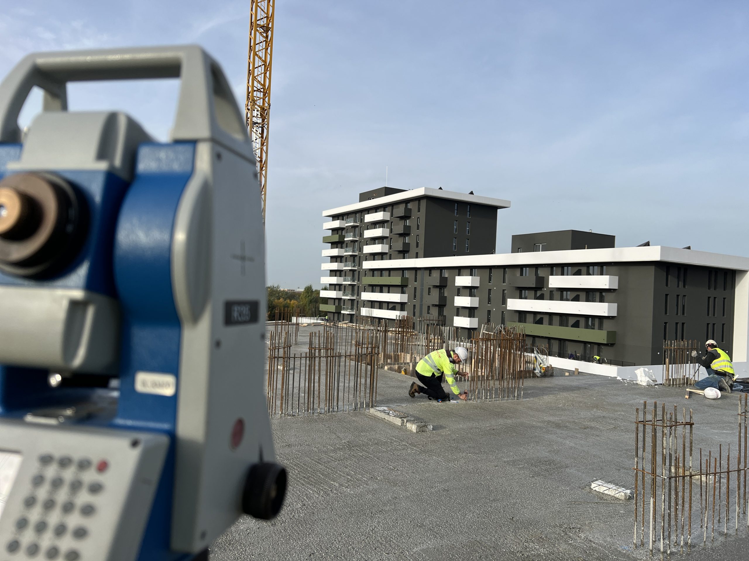
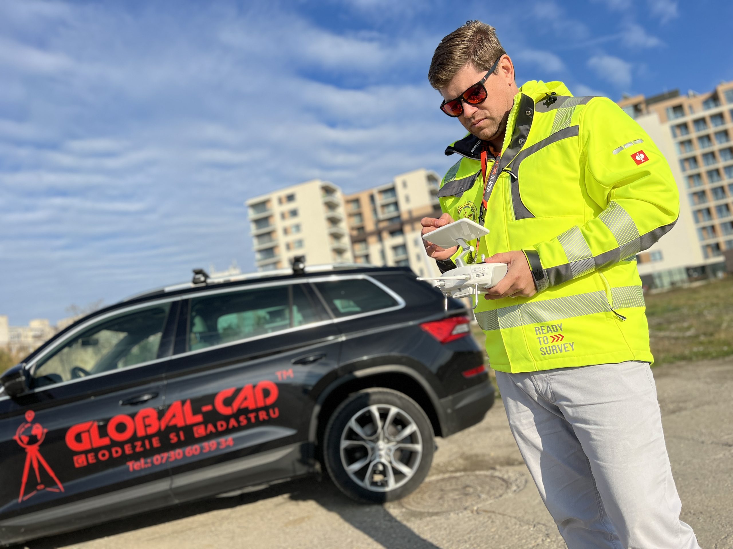
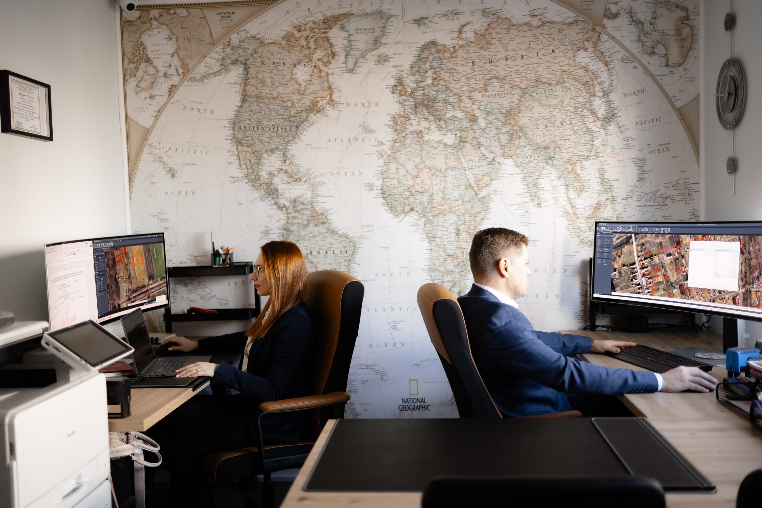
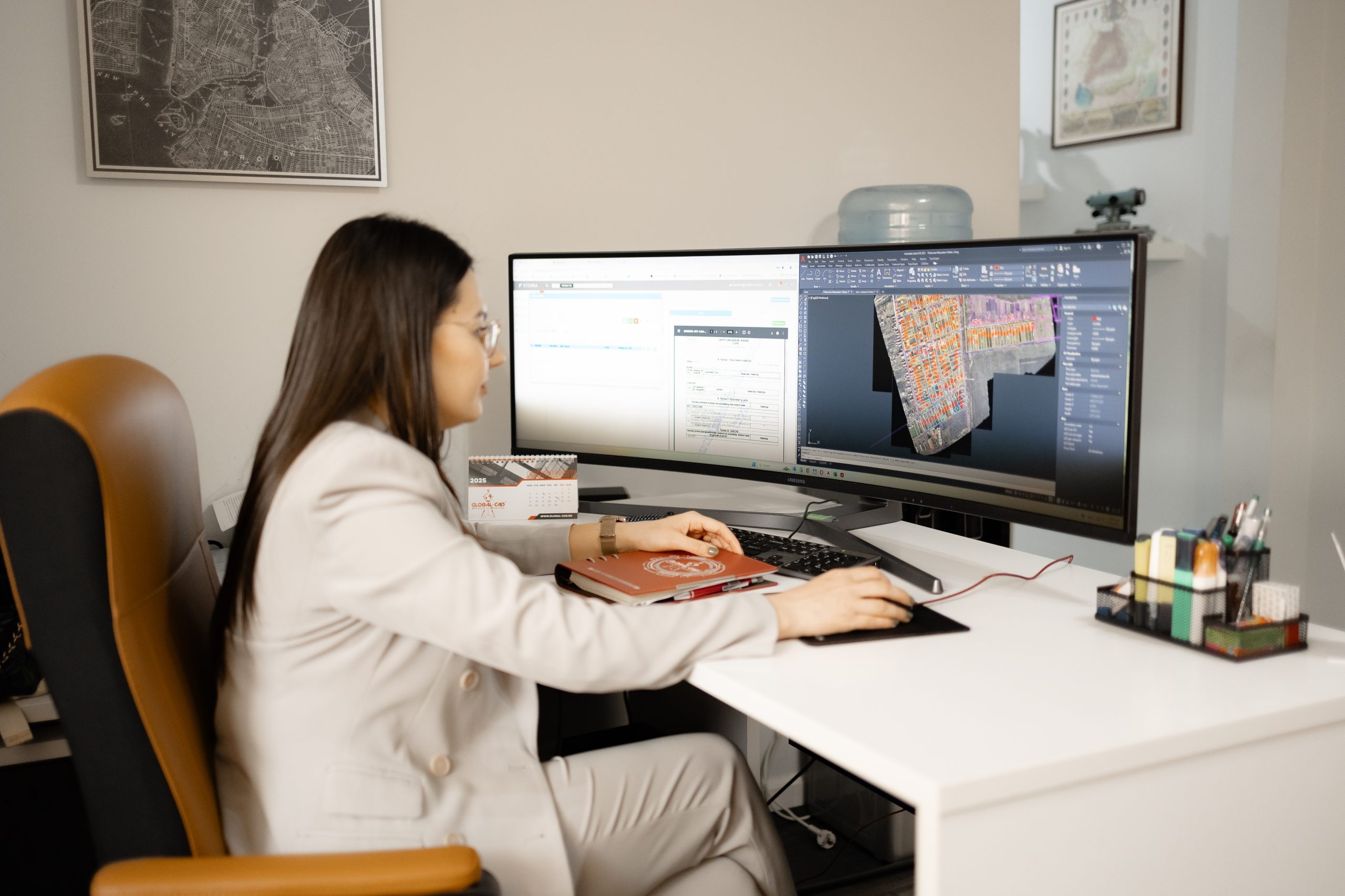
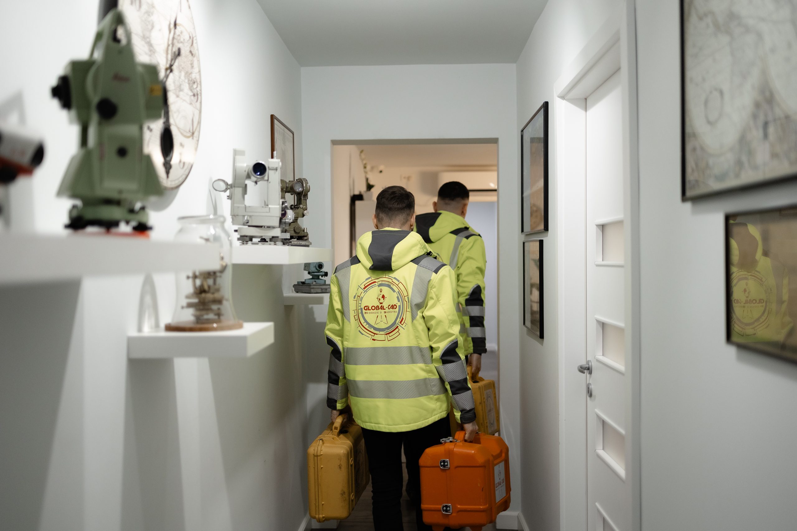
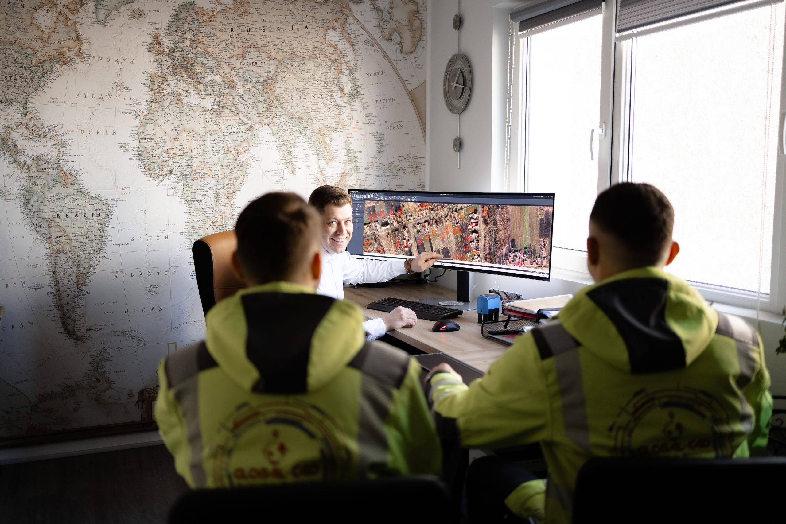
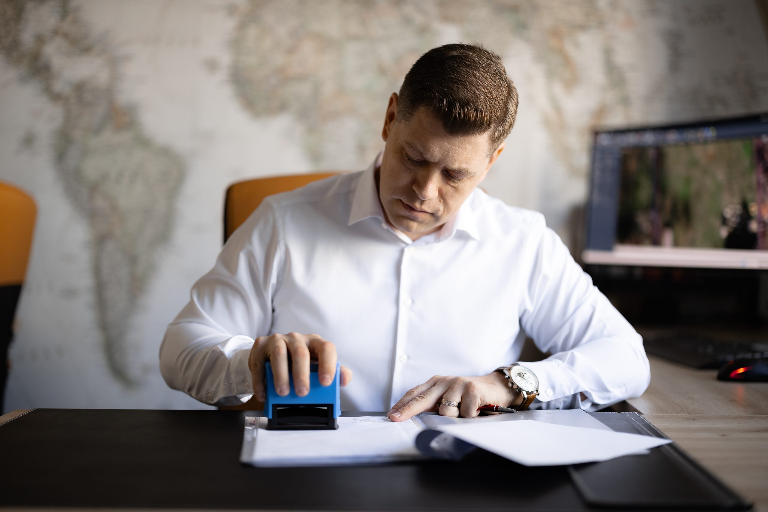
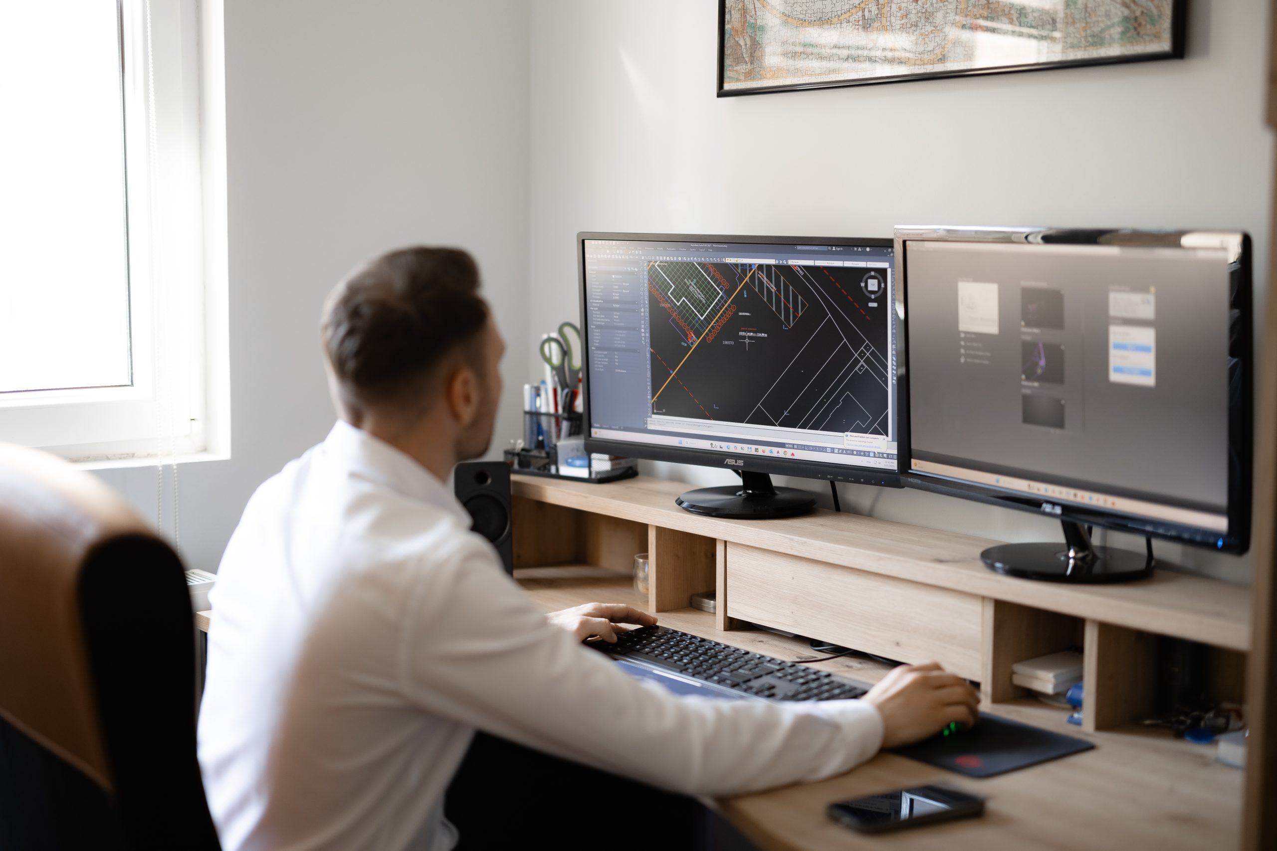
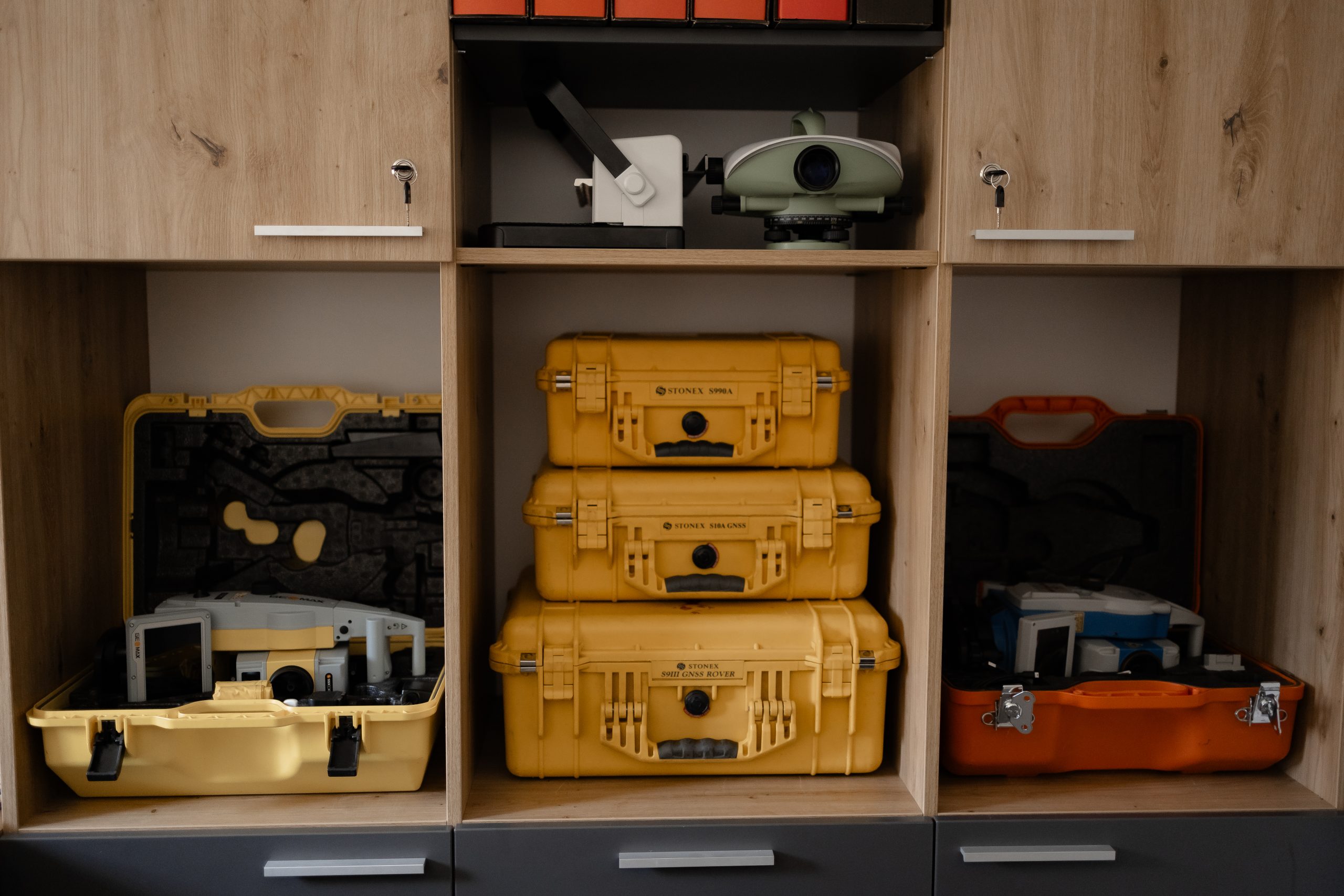
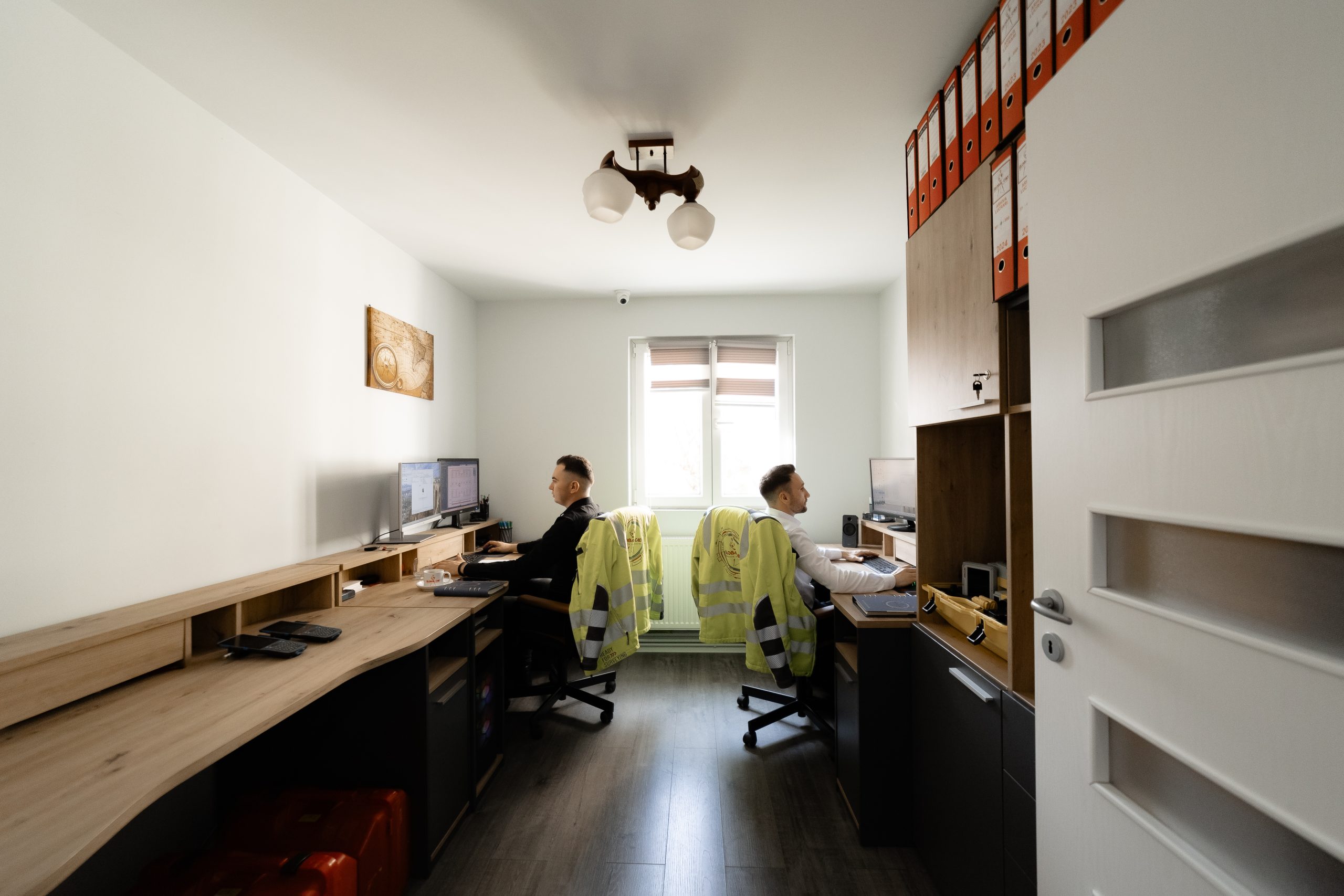
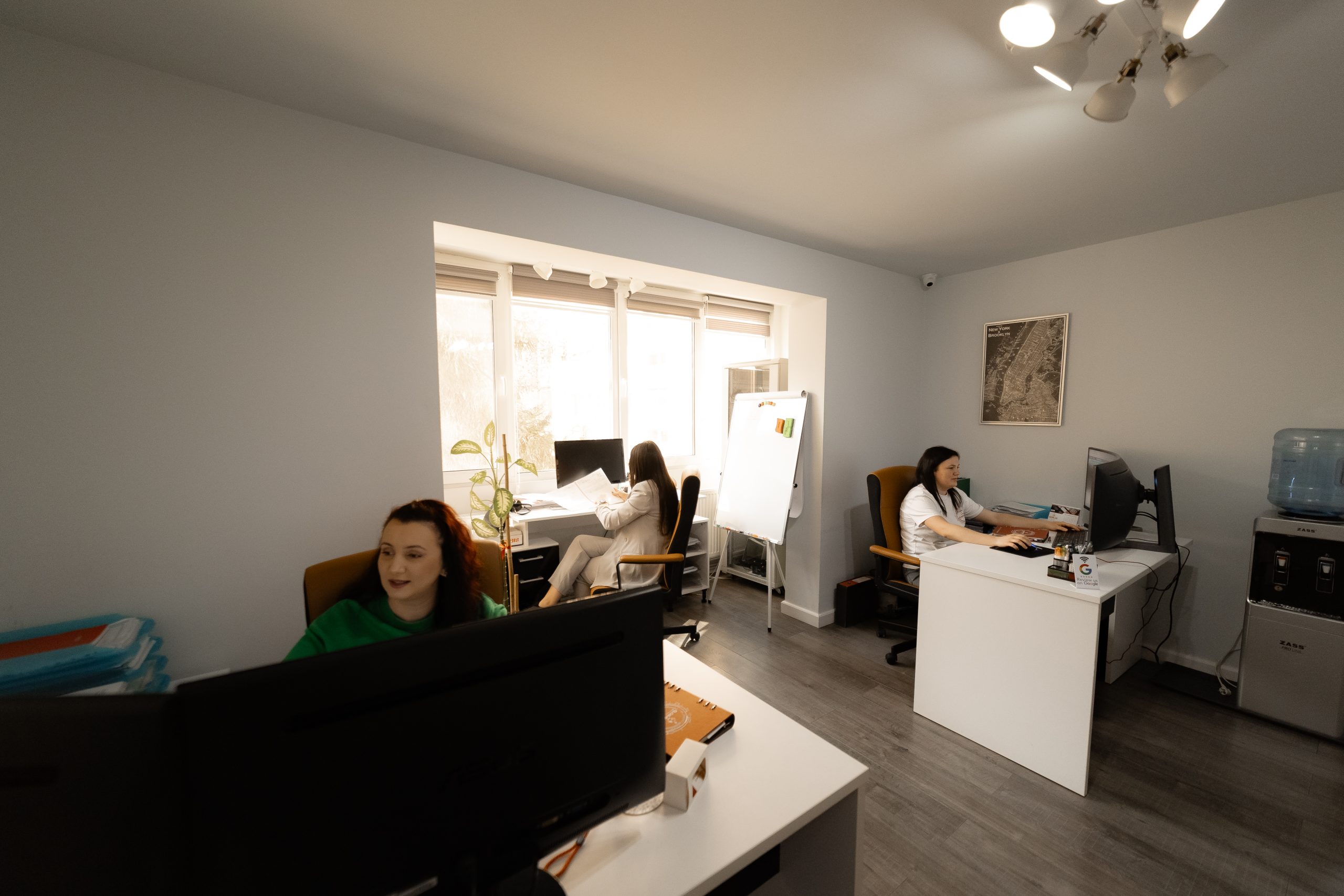
We are a company established in 2007 with years of experience in successfully representing our clients in the fields of land surveying, cadastre, and real estate publicity. Our goal is to provide services at the highest level of professionalism. We achieve this by combining the dedication and expertise of our team with state-of-the-art equipment.
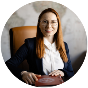
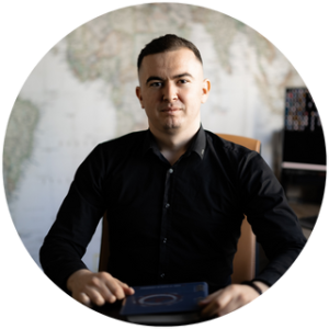
Mark Twain
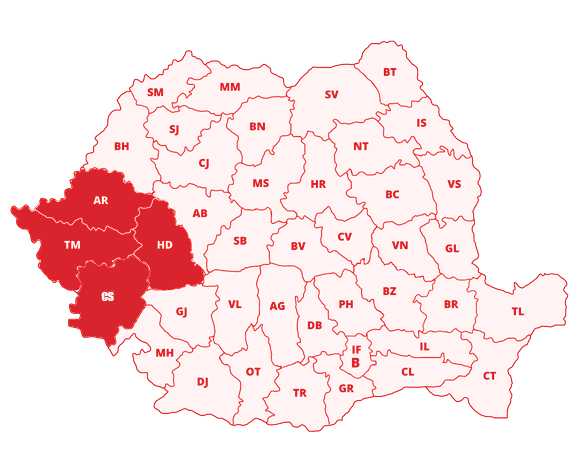
We offer our services throughout Romania, with a focus on the counties of Timiș, Arad, Caraș-Severin, and Hunedoara.
The unified and mandatory system for the technical, economic, and legal registration of all properties within an administrative territory.
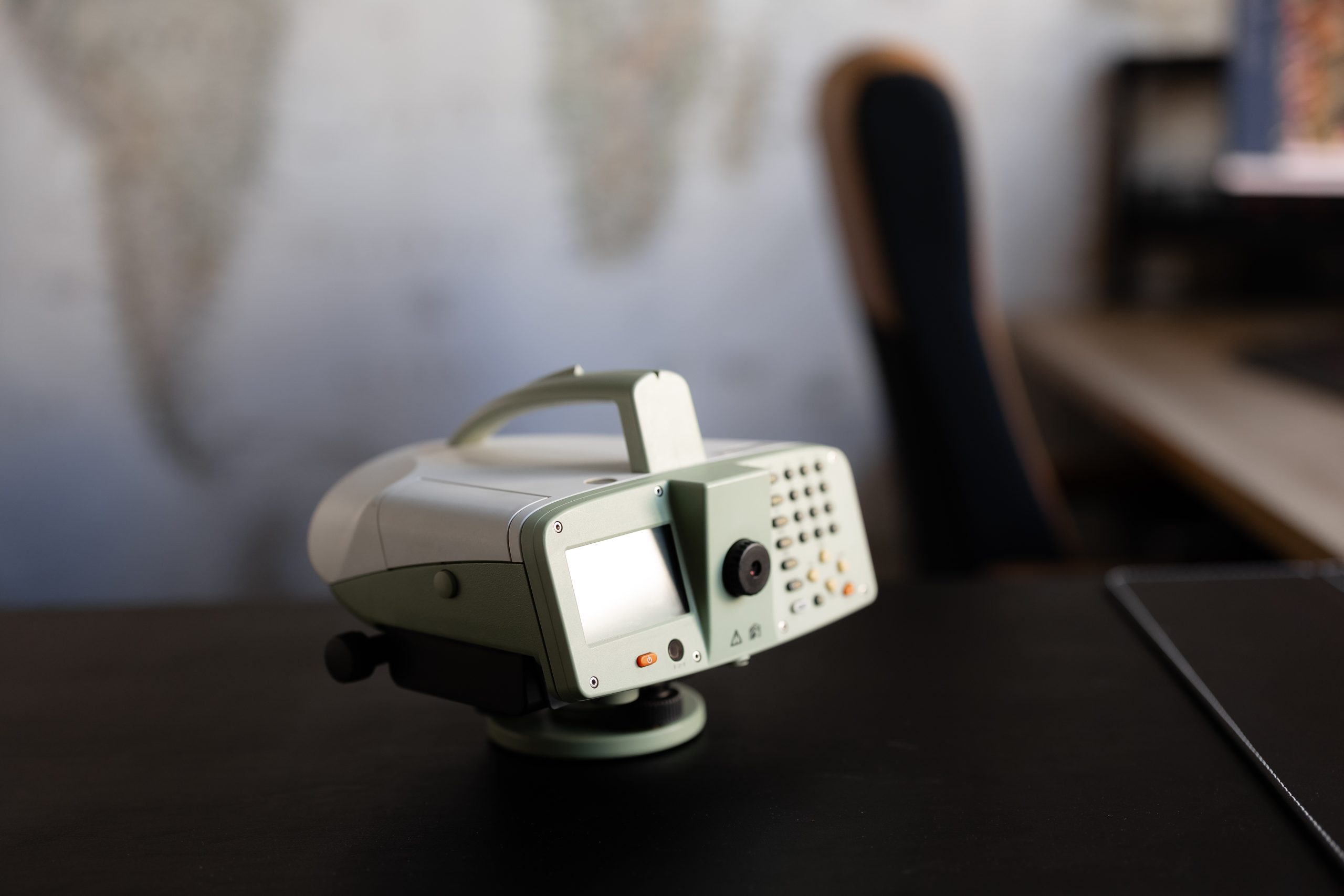
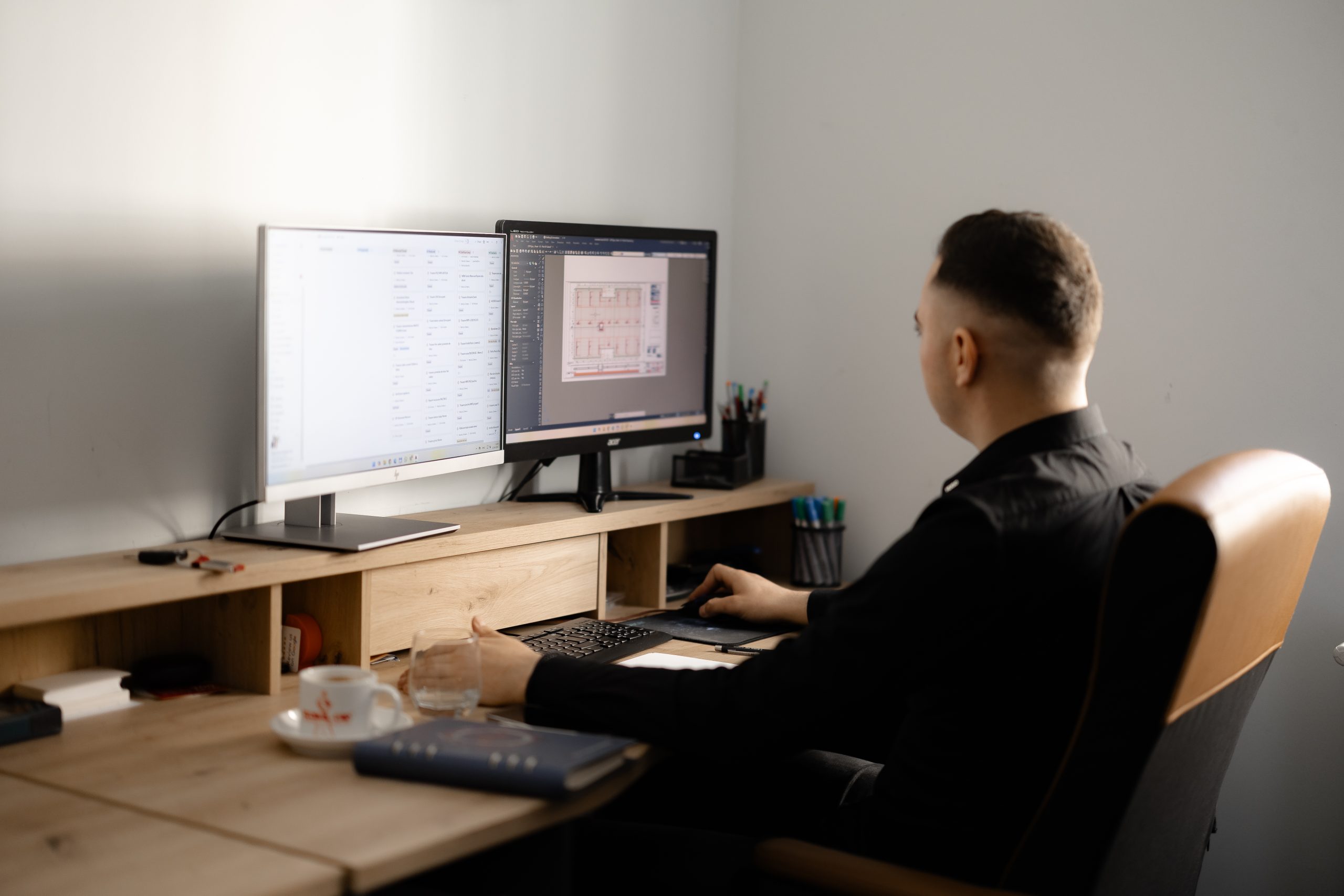
A synthesis discipline that participates in the design and implementation process of investments of any kind.
The territorial perimeter determined by the Zonal Urban Plan documentation, within which specific urban planning regulations are established regarding land use, construction parameters, and spatial–functional organization.
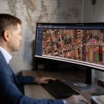
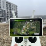
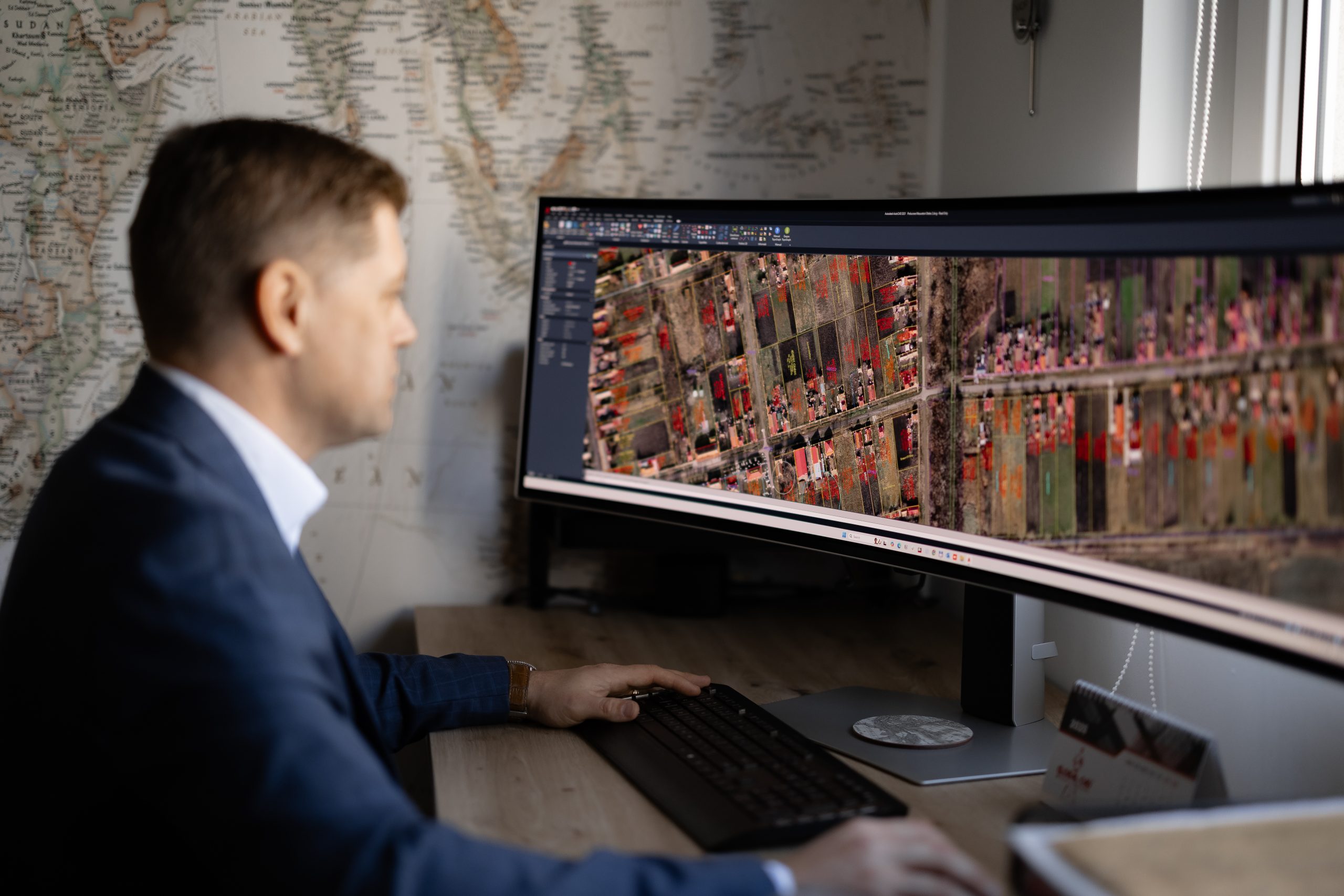
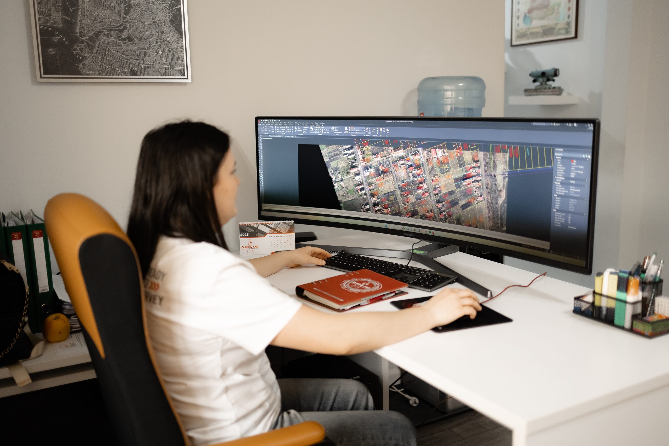
The GIS domain represents a structured set of geospatial data and associated attributes, defined within a standardized coordinate system, intended for the management and analysis of geographically referenced information.
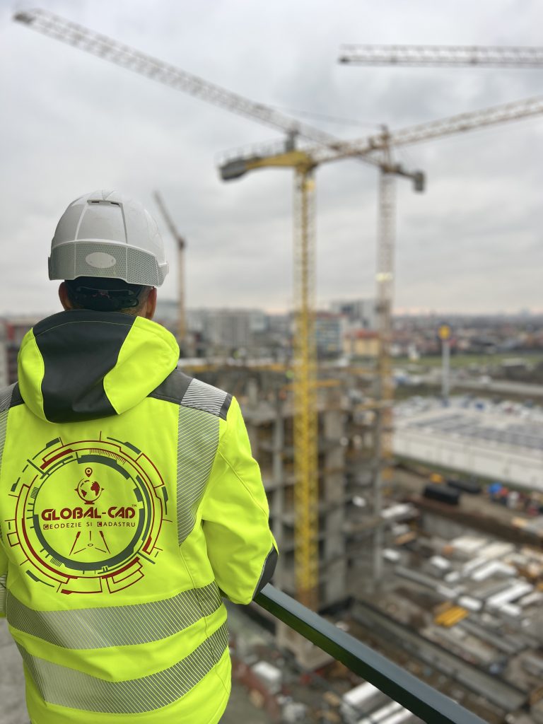
Comprehensive technical and legal consultancy services in the fields of cadastre, registration, surveying, and urban planning, for individuals, real estate developers, design offices, and local authorities.
The solar energy domain represents the geospatial perimeter of a photovoltaic investment, defined by official geodetic coordinates, within which surveying works are carried out for design, construction, and operation.
The wind energy domain represents the geospatial perimeter of a wind power investment, defined by geodetic coordinates, within which surveying works are carried out for design, construction, and operation.
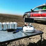
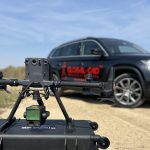
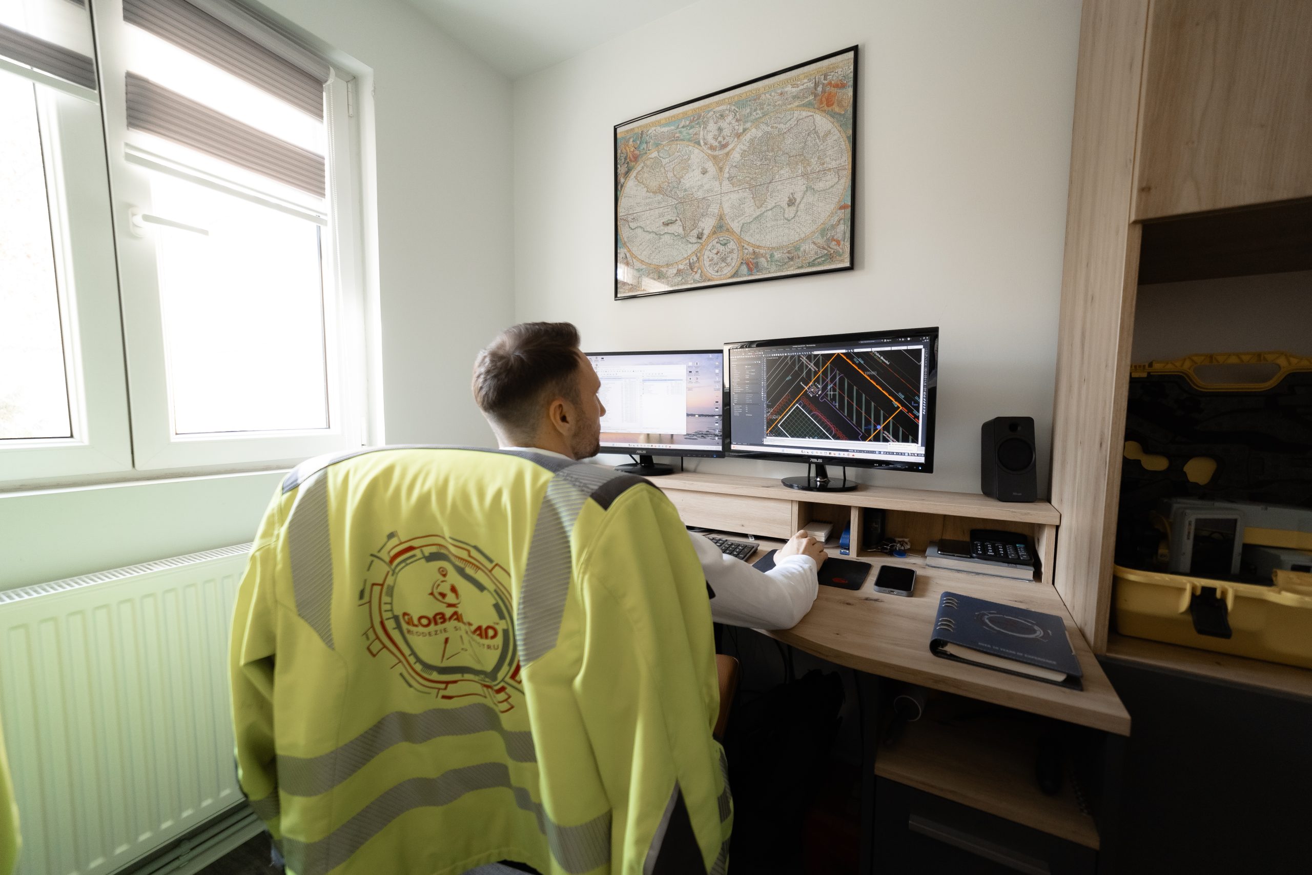
The advanced 3D measurements domain represents the georeferenced perimeter within which high-precision three-dimensional acquisition and modeling of the terrain and structures are carried out using LiDAR, photogrammetry, or laser scanning technologies, for the purpose of technical analysis and documentation.
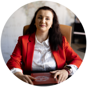
Carl Friedrich Gauss
Do you have a project in our field of activity?
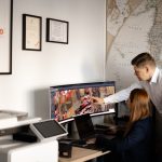
We advise you in choosing the best solution and provide the contracted services with maximum promptness and impeccable quality.
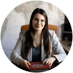
Alan Cohen

Saturday – Sunday Closed
Contact us and we will together establish the working method suited to your needs.
Thank you for choosing GLOBAL-CAD TM.


